
Area 26.12 km² Population 609 (1999) | Intercommunality Terres Vives Local time Wednesday 12:55 AM | |
 | ||
Weather 9°C, Wind NW at 5 km/h, 85% Humidity | ||
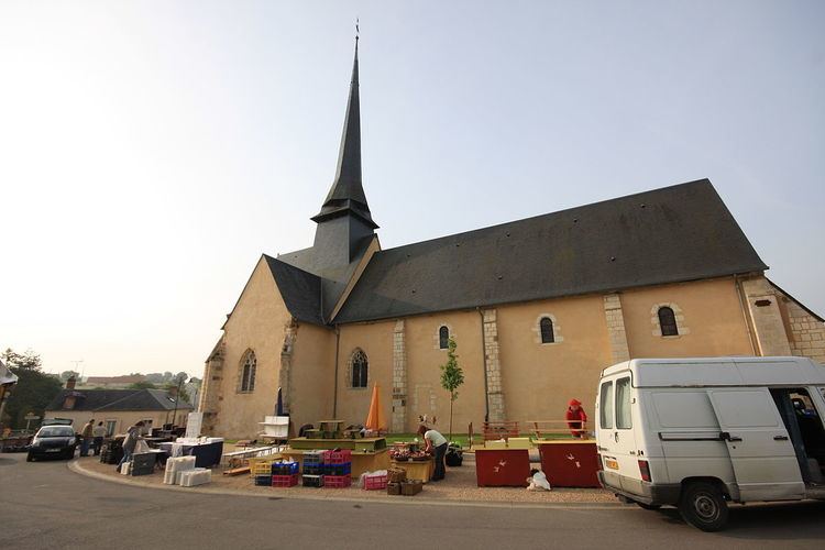
Saint-Palais is a commune in the Cher department in the Centre region of France.
Contents
Map of 18110 Saint-Palais, France
Geography
An area of lakes, streams and farming comprising the village and a hamlet situated about 10 miles (16 km) north of Bourges, at the junction of the D940 with the D116 and the D170 roads.
Sights
References
Saint-Palais, Cher Wikipedia(Text) CC BY-SA