
Country Canada Constituted August 17, 1994 Postal code(s) J0H 1R0 Area 75.2 km² Population 3,051 (2011) Geocode 54072 | Settled 1710 Time zone EST (UTC−5) Area code(s) 450 and 579 Province Québec Local time Tuesday 4:39 PM | |
 | ||
Weather 3°C, Wind N at 10 km/h, 93% Humidity RCMs Montérégie, Les Maskoutains Regional County Municipality | ||
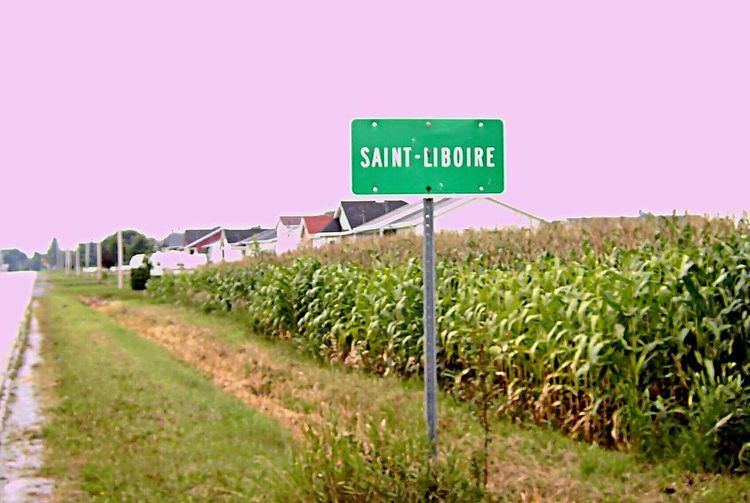
Saint-Liboire (or Saint-Liboire-de-Bagot) is a municipality in the municipalité régionale de comté des Maskoutains in Québec (Canada), located in the administrative region of Montérégie. The population as of the Canada 2011 Census was 3,051.
Contents
Map of Saint-Liboire, QC, Canada
History
Before the foundation of Saint-Liboire, the actual town territory was included in the Seigneurie de Ramezay given to Claude de Ramezay near 1710.
The village municipality was founded in 1857 with the purpose to offer more arable lands to the Catholic colonists coming from the Saint-Hyacinthe region.
It became the chief town of Bagot County.
Reading Suggestion
Historians will be fascinated by the book Centenaire de Saint-Liboire, 20-24 juin 1957 : album-souvenir, 1857-1957 written by Dollard Boucher and Armand Laliberté. This book is available at the Bibliothèque et Archives nationales du Québec.