
Area 5.67 km² Population 303 (2011) Area code 506 | County Madawaska Village Status 1967 Provincial Madawaska-les-Lacs Local time Tuesday 3:51 PM | |
 | ||
Weather -1°C, Wind SE at 11 km/h, 83% Humidity | ||
Saint-Hilaire (2011 population: 303) is a Canadian village in Madawaska County, New Brunswick.
Contents
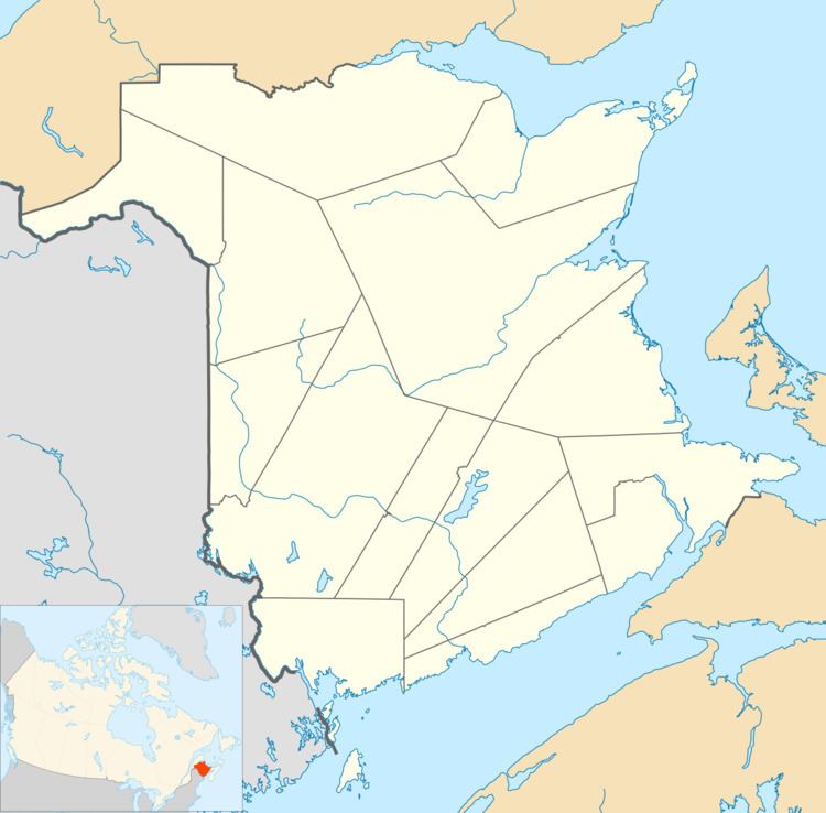
Map of Saint Hilaire, NB, Canada
The largest employer is a composting plant.
History and geography
The municipality was constituted on 2 October 1967. It consists of a mayor and three councillors.
The Saint John river valley is cut between two sets of peaks. The town is roughly 200m above sea level, while a peak of roughly 1000m is seen nearby. Frenchville, Maine is across the river. The steel truss Clair – Fort Kent Bridge is upriver about five miles, while downstream the next border crossing is the Edmundston–Madawaska Bridge (also a steel truss).
Economy
The nearest post office is upriver in Baker Brook. A railway and NB Route 120 go through town, as well as the Saint John River. The elementary school closed in 1996 due to lack of students. The Caisse Populaire Trois-Rives maintains a branch. The nearest Royal Canadian Mounted Police detachment is in Clair, New Brunswick, while the nearest hospital is located in Edmundston.