
County Dubois Time zone EST (UTC-5) Elevation 172 m | State Indiana ZIP code 47532 Local time Tuesday 5:56 AM | |
 | ||
Weather 12°C, Wind NW at 6 km/h, 94% Humidity | ||
Saint Henry is an unincorporated community in Cass Township, Dubois County, in the U.S. state of Indiana.
Contents
Map of St Henry, IN 47532, USA
History
Saint Henry was platted about 1874. The town was originally called Henryville, but was changed to Saint Henry because there was already a Henryville in Indiana.
A post office was established at Saint Henry in 1870, and remained in operation until it was discontinued in 1933.
Geography
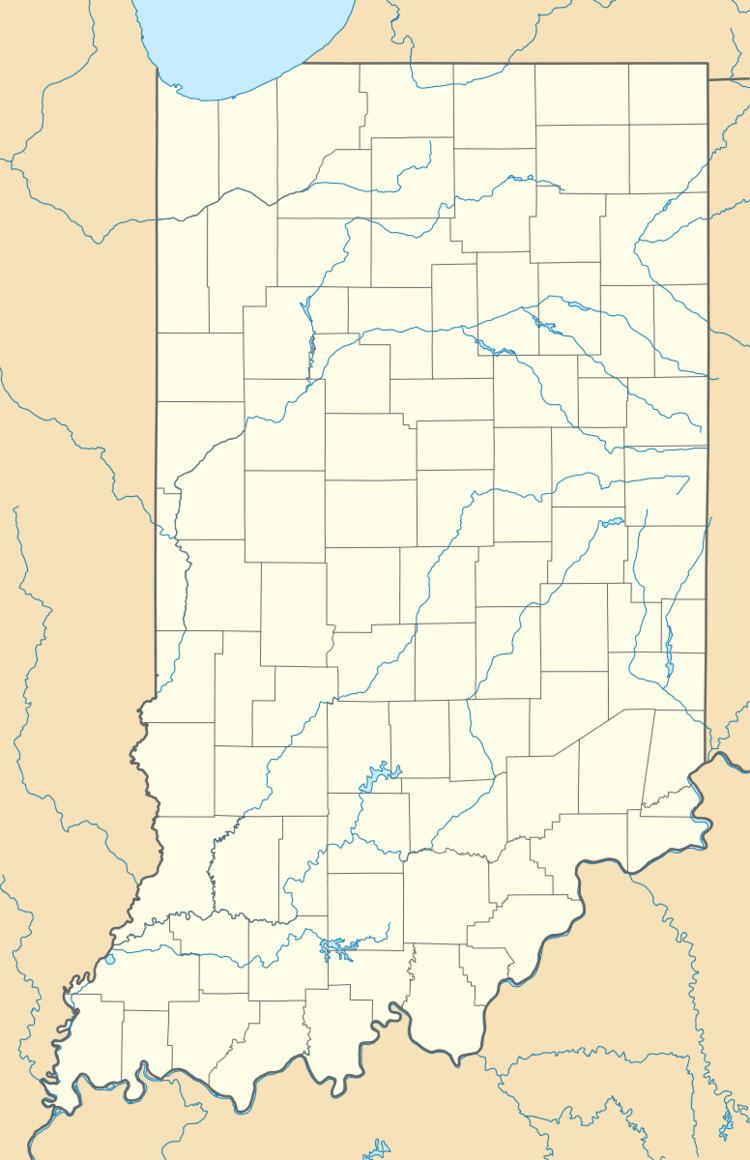
Saint Henry is located at 38°13′03″N 86°55′43″W.
References
Saint Henry, Indiana Wikipedia(Text) CC BY-SA