
Country Canada Time zone EST (UTC−5) Area code(s) 450 and 579 Area 81.7 km² Province Québec | Constituted December 27, 1989 Postal code(s) J0J 1B0 Highways Route 202 Population 1,056 (2011) Local time Tuesday 1:51 PM | |
 | ||
Weather 3°C, Wind N at 10 km/h, 97% Humidity RCMs Montérégie, Le Haut-Richelieu Regional County Municipality | ||
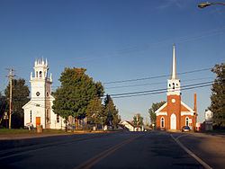
Saint-Georges-de-Clarenceville is a municipality in the province of Quebec, Canada, located in the Regional County Municipality of Le Haut-Richelieu. The population as of the Canada 2006 Census was 1,106.
Contents
Map of Saint-Georges-de-Clarenceville, QC, Canada
History
Originally owned by France the area was named Seigneurie de Foucault and settled by the French after 1727. The land was transferred to British rule after the Treaty of Paris was signed in 1763. The area was leased to Colonel Henry Caldwell in 1774 and called Caldwell's Manor, then sold in 1842 to Joseph Frederic Allard and renamed Allard's Manor. In 1822 the name was changed to its current name Saint Georges de Clarenceville, briefly Clarenceville.
References
Saint-Georges-de-Clarenceville, Quebec Wikipedia(Text) CC BY-SA