
Barangays Area 100.2 km² Local time Tuesday 4:50 PM | Established December 9, 1954 Time zone PST (UTC+8) | |
 | ||
Weather 27°C, Wind NE at 19 km/h, 79% Humidity | ||
Buhawi in saint bernard southern leyte
Saint Bernard is a 4th class municipality in the province of Southern Leyte, Philippines. According to the 2015 census, it has a population of 28,395 people.
Contents
- Buhawi in saint bernard southern leyte
- Map of St Bernard Southern Leyte Philippines
- Barangays
- History
- Economy
- Places of interest
- Education
- References
Map of St Bernard, Southern Leyte, Philippines
It is situated on the Pacific coast and the first town form the mountain road from the eastern side of Sogod Bay.
Barangays
Saint Bernard is politically subdivided into 30 barangays.
History
This town was formerly the largest barrio of San Juan, then known as "Himatagon". On December 9, 1954, President Ramon Magsaysay issued Executive Order No. 84, converting the barrio as a municipality of Saint Bernard. It was through the efforts of Leyte Governor Bernardo Torres that the conversion was made possible in response to the lingering clamour of the inhabitants for an independent and separate municipality from San Juan.
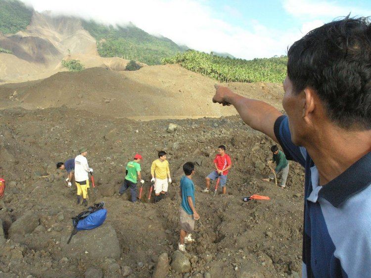
On February 17, 2006, a tragic series of mudslides killed over 1100 residents in Barangay Guinsaugon. Affected families were treated by the Philippine government and other non-government organizations from all over the world. New houses were built, and the people chose New Guinsaugon as the name of their village located near the town proper.
Economy
Saint Bernard economy are based in agriculture and marine culture. The municipality is considered among the fastest growing economy in the pacific area of Southern Leyte.
Places of interest
Education
There are accessible Elementary Schools in every Barangay in the Municipality of Saint Bernard as of 2011 census. List of Secondary Schools in the Municipality of Saint Bernard.