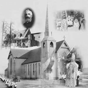
Country Canada Established 1850 Population 717 (2011) Local time Tuesday 12:35 PM | County Madawaska Time zone AST (UTC-4) Province New Brunswick | |
 | ||
Weather -2°C, Wind SE at 11 km/h, 83% Humidity | ||
Saint-Basile is a Canadian parish in Madawaska County, New Brunswick.
Contents
Map of Saint-Basile, NB, Canada
Delineation
Saint-Basile Parish is defined in the Territorial Division Act as being bounded:
Southeasterly by Sainte-Anne [Parish]; northeasterly by the County line; southwesterly by the St. John River; and northwesterly by the lower line of grant numbered eighteen hundred and eight, near the mouth of the Madawaska River, granted to Simon Herbert in the year of our Lord one thousand eight hundred and twenty-five, and its northeasterly prolongation, including the islands in front, and excluding the Ordnance lands at the mouth of the Madawaska River, and all lands lying on the northwestern side of Green River from the mouth of Little Belone Brook at the Second Falls up stream to the Little Forks, except the part thereof heretofore described establishing the Parish of Rivière-Verte.Communities
Parish population total does not include incorporated municipalities (in bold) and communities within their respective boundaries (in italics).
References
Saint-Basile Parish, New Brunswick Wikipedia(Text) CC BY-SA
