
Canton Caudebec-en-Caux Area 13.86 km² | Region Normandy Local time Tuesday 5:08 PM | |
 | ||
Weather 16°C, Wind SW at 19 km/h, 65% Humidity | ||
Saint-Arnoult is a commune in the Seine-Maritime department in the Haute-Normandie region in northern France.
Contents
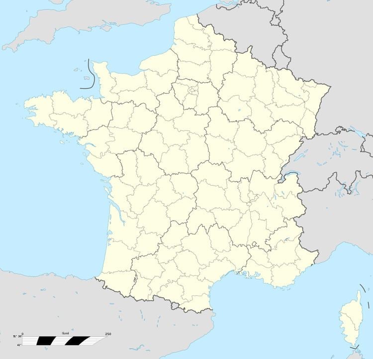
Map of 76490 Saint-Arnoult, France
Geography
A farming village situated by the banks of the Seine, some 23 miles (37 km) northwest of Rouen at the junction of the D982, D440 and the D281 roads.
Places of interest
References
Saint-Arnoult, Seine-Maritime Wikipedia(Text) CC BY-SA