Trisha Shetty (Editor)

Saint Andrew Parish, Saint Vincent and the Grenadines

Updated on
Edit
Like
Comment
Share on FacebookTweet on TwitterShare on LinkedInShare on Reddit
Capital City
  
Layou

Capital
  
Layou

Area
  
28.5 km²

Saint Andrew Parish, Saint Vincent and the Grenadines

Country
  
Saint Vincent and the Grenadines

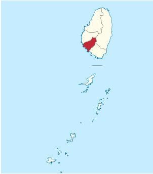
Saint Andrew is an administrative parish of Saint Vincent and the Grenadines, on the island of Saint Vincent. Its capital is Layou.

Contents

Map of Saint Andrew, St Vincent and the Grenadines

  • Area: 29 km² (11 mi²)
  • Population: 6,700 (2000 estimates)
  • Populated places

    The following populated places are located in the parish of Saint Andrew:

  • Camden Park (13°10′21″N 061°14′29″W)
  • Chauncey (13°10′N 061°14′W)
  • Clare Valley (13°10′N 061°15′W)
  • Dubois (13°11′N 061°14′W)
  • Edinboro (13°09′35″N 061°14′11″W)
  • Francois (13°12′N 061°13′W)
  • Liberty Lodge (13°09′57″N 061°13′54″W)
  • Montrose (13°10′N 061°14′W)
  • Pembroke (13°11′N 061°15′W)
  • Questelles (13°10′N 061°14′W)
  • Redemption (13°09′52″N 061°13′46″W)
  • Vermont (13°12′N 061°13′W)
  • References

    Saint Andrew Parish, Saint Vincent and the Grenadines Wikipedia


    Similar Topics