
Area 24.19 km² | ||
 | ||
Intercommunality Communauté de communes du Pays d'Arlanc | ||
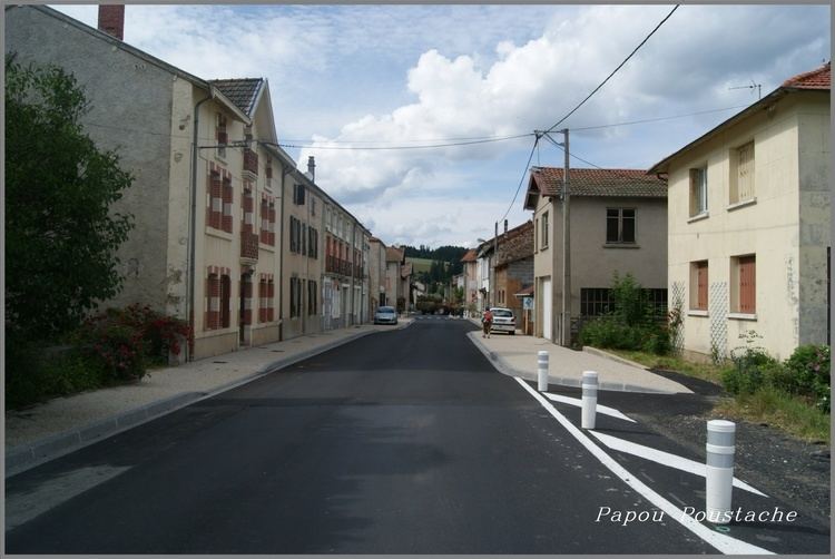
Saint-Alyre-d'Arlanc is a commune in the Puy-de-Dôme department in Auvergne in central France.
Contents
Map of 63220 Saint-Alyre-d'Arlanc, France
Geography
It is situated on the D999 road and almost midway between the cities of Clermont-Ferrand and Saint-Étienne at the heart of the Parc naturel régional Livradois-Forez.
The village is surrounded by pine forest with wild mushrooms to be found in the woods during autumn, rolling countryside and it is on the pilgrim trail. 9 km to the south is the mediaeval abbey town of La Chaise-Dieu.
The canton comprises the small hamlets of Chouviaux, Pauly, Bressolles, Bressolettes, La Ferreire, Germalange, Aubepierre, Le Montel, Tremoulet and Chelles.
Population
The village has a population of 50 permanent year round residents, which swells to 3-400 during the summer months.
The mayor, elected in 2008, is Daniel Besseyrias. The annual Fete Patronale is held over the weekend of the third Sunday in July.