
Country India Elevation 70 m Local time Tuesday 10:15 AM | Time zone IST (UTC+5:30) Population 21,559 (2001) | |
 | ||
Weather 31°C, Wind E at 3 km/h, 59% Humidity | ||
Saidpur is a town and a nagar panchayat in Ghazipur district in the Indian state of Uttar Pradesh with pin code 233304.Nearest Railway station is Aunrihar Jn. Aunrihar is a main Hub for travelling,bissuness, politicians,Temple of Varah-Bhagwan.
Contents
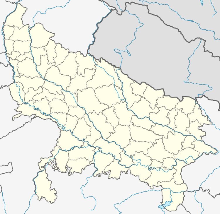
Map of Saidpur, Uttar Pradesh 233221
Geography
Saidpur is located at 25.55°N 83.18°E / 25.55; 83.18. It has an average elevation of 70 metres (229 feet). Saidpur is on the main road from Varanasi to Ghazipur and is one of the important markets of Ghazipur district.
Demographics
As of 2001 India census, Saidpur had a population of 47,064. Males constituted 53% of the population and females 47%. Saidpur has an average literacy rate of 59%, lower than the national average of 59.5%. Male literacy is 68%, and female literacy is 49%. In Saidpur, 17% of the population is under 6 years of age.