 | ||
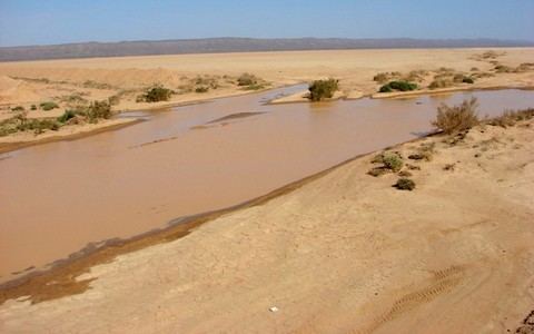
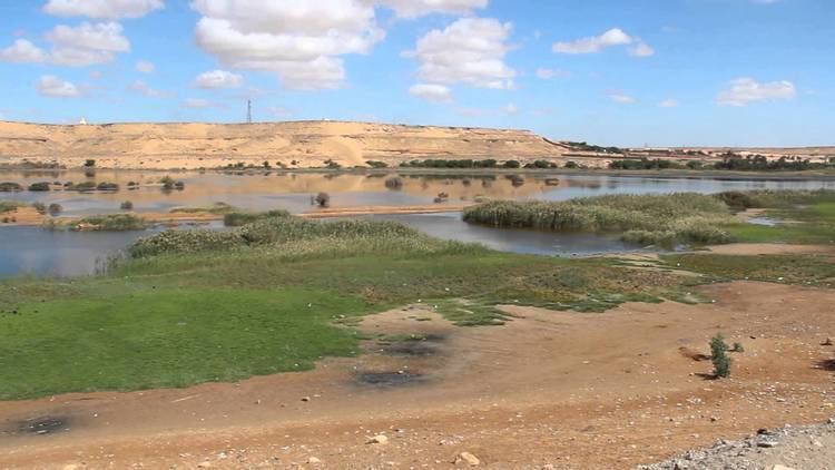
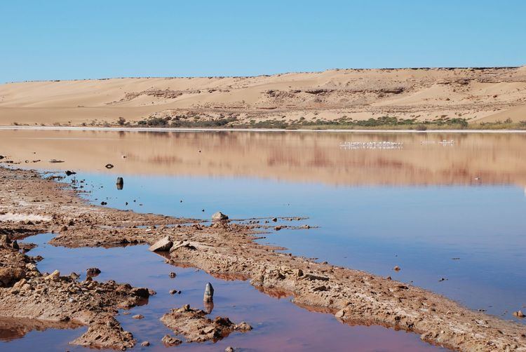
Oued saguia el hamra laayoune
Saguia el-Hamra (Spanish: Saguia el Hamra, Arabic: الساقية الحمراء, trans. al-Saqiyah al-Hamra'a; literally in Arabic, "Red Canal") is, with Río de Oro, one of the two territories that formed the Spanish province of Spanish Sahara after 1969. Its name comes from a waterway that goes through the capital. The wadi is inhabited by the Oulad Tidrarin Sahrawi tribe.
Contents
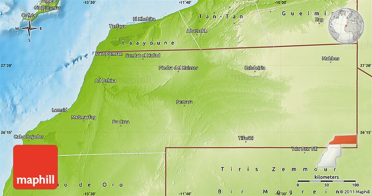
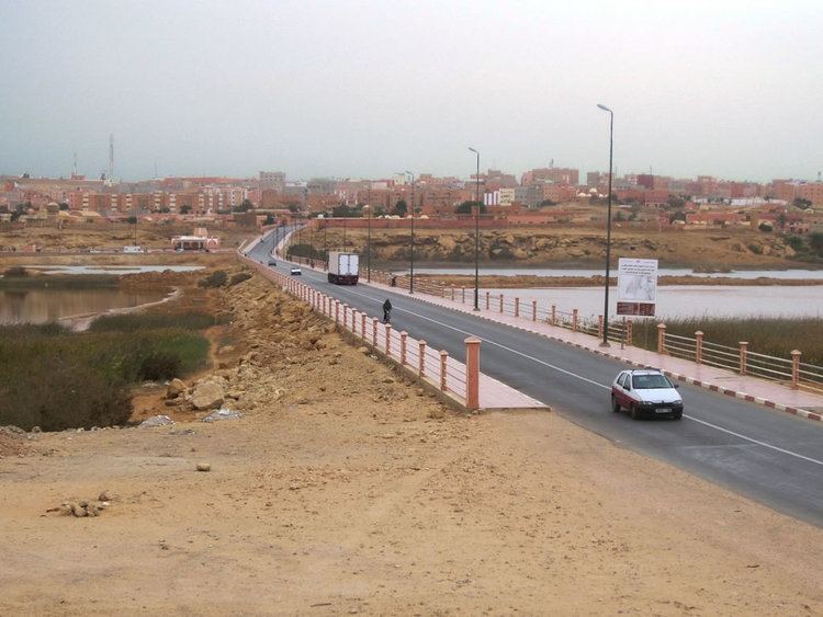
Occupying the northern part of Western Sahara, it lies between the 26th parallel north and 27°50'N. The city of Cape Bojador serves to divide the regions. Its capital is El Aaiún (Laâyoune), and it also includes the city of Smara.
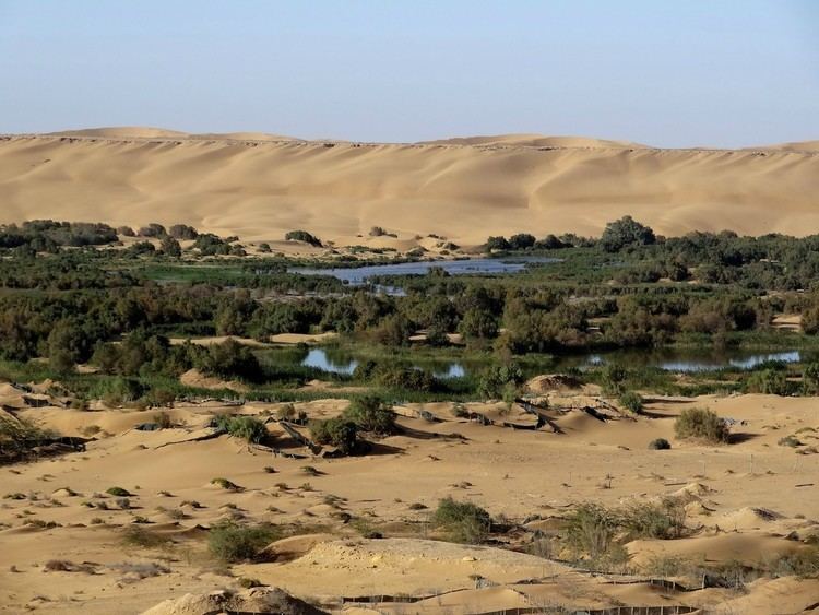
The territory takes its name from an intermittent river, the Saguia el-Hamra, the route of which runs dues west from south of El Farcya to reach the Atlantic at Laayoune.
The area is roughly 31,660 mi.2 (82,000 km²), making it approximately a third of the entire country.
Saguia el hamra