
Country United States FIPS code 26-70545 Population 24,994 (2000) | Time zone Eastern (EST) (UTC-5) Area 35 km² | |
 | ||
Restaurants Good Time's Pizza, Stardust Lanes, Olive Garden, Hungry Howie's Pizza, Los Cuatro Amigos Hotels Four Points by Sheraton, Hampton Inn & Suites Sa, Knights Inn Saginaw, Super 8 Saginaw, Holiday Inn Express Saginaw | ||
Saginaw Township North is a census-designated place (CDP) in Saginaw County in the U.S. state of Michigan. The CDP is defined for statistical purposes and has no legal status as an incorporated municipality. The population was 24,994 at the 2000 census. The CDP is located within Saginaw Charter Township and consists of most of the township north of State St., while Saginaw Township South is the area south of State St. This division is purely for statistical purposes and does not reflect any present or historical self-identification of the residents in these areas.
Contents
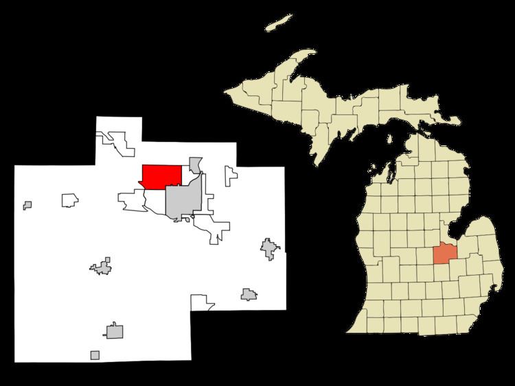
- Map of Saginaw Township North Saginaw Charter Township MI USA
- Communities
- Geography
- Demographics
- References
Map of Saginaw Township North, Saginaw Charter Township, MI, USA
Communities
Geography
According to the United States Census Bureau, the CDP has a total area of 13.5 square miles (35 km2), all land.
Demographics
As of the census of 2000, there were 24,994 people, 10,704 households, and 6,572 families residing in the CDP. The population density was 1,851.5 per square mile (714.8/km²). There were 11,209 housing units at an average density of 830.3/sq mi (320.6/km²). The racial makeup of the CDP was 88.07% White, 5.35% Black or African American, 0.27% Native American, 3.08% Asian, 1.61% from other races, and 1.61% from two or more races. Hispanic or Latino of any race were 4.09% of the population.
There were 10,704 households out of which 25.5% had children under the age of 18 living with them, 49.7% were married couples living together, 9.1% had a female householder with no husband present, and 38.6% were non-families. 32.4% of all households were made up of individuals and 15.3% had someone living alone who was 65 years of age or older. The average household size was 2.26 and the average family size was 2.87.
In the CDP, the population was spread out with 20.7% under the age of 18, 10.2% from 18 to 24, 24.6% from 25 to 44, 24.8% from 45 to 64, and 19.8% who were 65 years of age or older. The median age was 41 years. For every 100 females there were 86.7 males. For every 100 females age 18 and over, there were 81.1 males.
The median income for a household in the CDP was $42,481, and the median income for a family was $56,641. Males had a median income of $47,450 versus $30,300 for females. The per capita income for the CDP was $24,466. About 4.3% of families and 7.1% of the population were below the poverty line, including 7.5% of those under age 18 and 8.9% of those age 65 or over.