
Country United States County Barnstable Time zone Eastern (EST) (UTC-5) Elevation 17 m Population 3,623 (2010) | FIPS code 25-58965 Zip code 02561 Area code 508 | |
 | ||
Area 9.065 km² (8.547 km² Land / 52 ha Water) Restaurants Saga Inn Restaurant, Saga Beach BBQ, McDonal, MrG`s Pizza, Dunkin' Donuts | ||
Sagamore is a census-designated place (CDP) in the town of Bourne in Barnstable County, Massachusetts, United States. The population was 3,623 at the 2010 census.
Contents
Map of Sagamore, Bourne, MA, USA
Geography
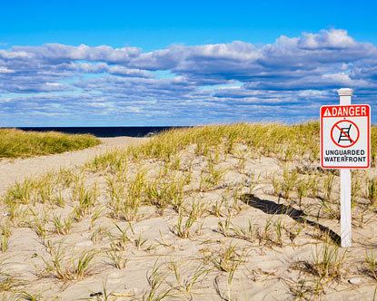
Sagamore is located in the northeastern corner of the town of Bourne. It is bordered to the northeast by Cape Cod Bay, to the northwest by the town of Plymouth, to the west by the Massachusetts Route 3 expressway, to the southwest and south by U.S. Route 6 (the Mid-Cape Highway), and to the east by the town of Sandwich. The northern half of the CDP, along the shore of Cape Cod Bay, is known as Sagamore Beach. The Cape Cod Canal passes east to west through the southern part of the CDP. The Sagamore Bridge, carrying Route 6, crosses the canal in its namesake neighborhood.
According to the United States Census Bureau, the Sagamore CDP has a total area of 3.5 square miles (9.1 km2). 3.3 square miles (8.6 km2) of it is land, and 0.19 square miles (0.5 km2) of it (5.10%) is water.
Demographics
As of the census of 2000, there were 3,544 people, 1,307 households, and 968 families residing in the CDP. The population density was 407.2/km² (1,056.0/mi²). There were 1,532 housing units at an average density of 176.0/km² (456.5/mi²). The racial makeup of the village was 98.93% White, .61% African American, 0.45% Native American, 0.76% Asian, 0.03% Pacific Islander, .10% from other races, and .12% from two or more races. Hispanic or Latino of any race were .66% of the population.
There were 1,307 households out of which 32.3% had children under the age of 18 living with them, 78.5% were married couples living together, 6.1% had a female householder with no husband present, and 25.9% were non-families. 19.7% of all households were made up of individuals and 7.6% had someone living alone who was 65 years of age or older. The average household size was 2.60 and the average family size was 3.00.
In the CDP, the population was spread out with 24.3% under the age of 18, 5.6% from 18 to 24, 27.0% from 25 to 44, 25.9% from 45 to 64, and 17.2% who were 65 years of age or older. The median age was 41 years. For every 100 females there were 86.3 males. For every 100 females age 18 and over, there were 84.3 males.
The median income for a household in the CDP was $103,385, and the median income for a family was $158,611. Males had a median income of $84,688 versus $66,639 for females. The per capita income for the CDP was $22,650. About .03% of families and .1% of the population were below the poverty line, including .1% of those under age 18 and .3% of those age 65 or over.