
Elevation 914 m Listing New England Fifty Finest | Prominence 565 m | |
 | ||
Topo map USGS Big Shanty Mountain | ||
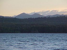
Saddleback Mountain is a mountain located in Piscataquis County, Maine.
Map of Saddleback Mountain, Northeast Piscataquis, ME 04414, USA
Saddleback Mountain stands within the watershed of the Pleasant River, which drains into the Penobscot River, and then into Penobscot Bay. The northeast end of Saddleback Mountain drains from Crater Pond into South Inlet Brook, then into B Pond, Guernsey Brook, and the East Branch of the Pleasant River. The easternmost part of Saddleback drains into Mud Gauntlet Brook, then into Ebeemee Lake, and the East Branch of the Pleasant River. The southeast side of Saddleback drains into the Middle Branch of the Pleasant River. The southwest end of Saddleback drains into Saddleback Brook, then into Silver Lake, and the West Branch of the Pleasant River. The northwest side of Saddleback drains into Big White Brook, then into Silver Lake.
Saddleback Mountain is at the northeast end of one of the longest lines of sight between elevated points in the eastern United States. The southwest end is Mount Washington in New Hampshire, 136 miles (219 km) away.