
Length 1.98 km (1.23 mi) Population 0 | Width 0.98 km (0.609 mi) | |
 | ||
Archipelago South Georgia and the South Sandwich Islands | ||
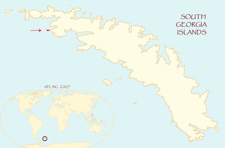
Saddle Island is 1.98 km (1.23 mi) long and 980 metres (1,070 yd) wide, situated on the south side of the entrance to Wilson Harbour on the west coast of South Georgia Island in the Antarctic. The island is separated from the mainland of South Georgia by a 280 metres (310 yd) wide passage.
Contents
Map of Saddle Island, SIQQ 1ZZ, South Georgia and the South Sandwich Islands
Location
Saddle Island is located at 54°08′25″S 37°44′57″W which is 18.9 km (11.7 mi) southeast of Cape Paryadin, 29.1 km (18.1 mi) west of Peggotty Bluff and 26.3 km (16.3 mi) northwest of Cape Nuñez.
Map
References
Saddle Island, South Georgia Wikipedia(Text) CC BY-SA