
Vehicle registration UP 65 Elevation 68 m Population 11,987 (2011) | Time zone IST (UTC+5:30) Website up.gov.in Local time Tuesday 12:46 AM | |
 | ||
Weather 25°C, Wind E at 5 km/h, 59% Humidity | ||
Sadat is a town and a nagar panchayat in Ghazipur district in the Indian state of Uttar Pradesh.
Contents
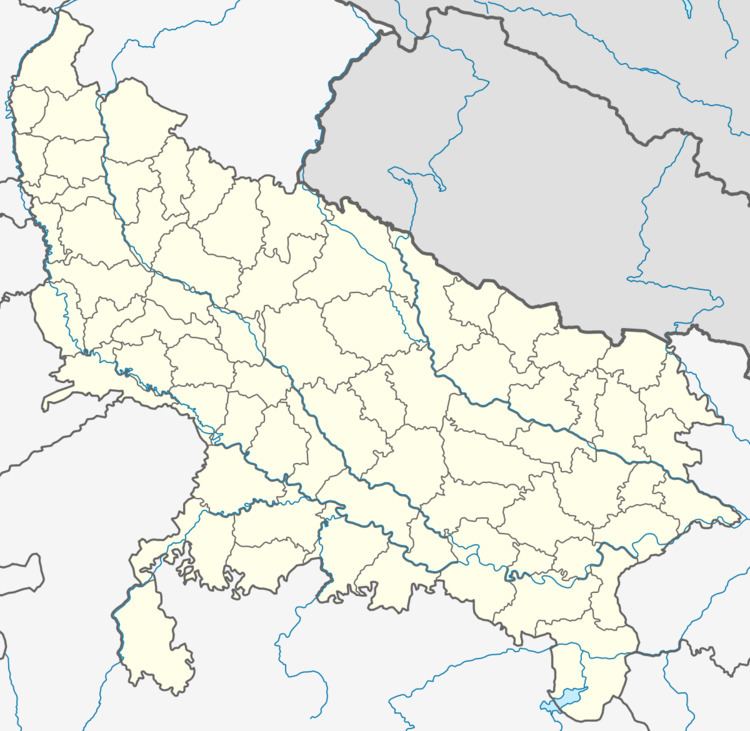
Map of Sadat, Uttar Pradesh 275204
Geography
Sadat is located at 25.68°N 83.28°E / 25.68; 83.28. It has an average elevation of 68 metres (223 feet).
Demographics
As of 2001 India census, Sadat had a population of 11,987. Males constitute 51% of the population and females 49%. Sadat has an average literacy rate of 67%, higher than the national average of 59.5%: male literacy is 77%, and female literacy is 57%. In Sadat, 18% of the population is under 6 years of age. Sadat divided into 11 wards. These names are - Ward No - 01 (Ambedkar Nagar), Ward No - 02 (Shastri Nagar), Ward No - 03 (Kalyan Nagar), Ward No - 04 (Deendayal Nagar), Ward No - 05 (Gandhi Nagar), Ward No - 06 (Shri Nagar), Ward No - 07 (Shaheed Nagar), Ward No - 08 (Azad Nagar), Ward No - 09 (Hedgewar Nagar), Ward No - 10 [Purani Bazar(Saiyadbada)], Ward No - 11 (Mahmoodpur Zunardar),