
Major cities Manchester | ||
 | ||
Sackville Street is a street in Manchester city centre, England.
Map of Sackville St, Manchester M1, UK
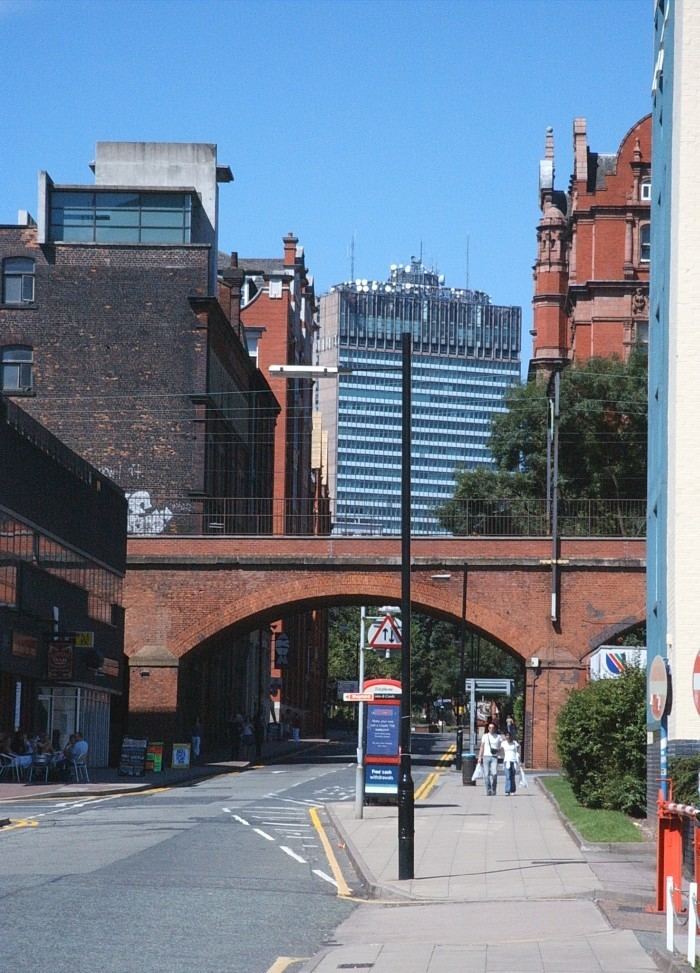
Sackville Street runs in a northwest-southeast direction and is split into two sections by Whitworth Street, which runs in a northeast-southwest direction. At the northern end of the street is a junction with Portland Street. The northern half of the street runs through Manchester's Gay Village and past Chorlton Street Coach Station. Here the street crosses Canal Street and is carried by a bridge over the Rochdale Canal and there is also a small public park, Sackville Gardens. Beyond Whitworth Street the southern half of the street runs through what was until 2004 the campus of the University of Manchester Institute of Science and Technology (UMIST), which is now part of the University of Manchester (the Sackville Street Campus). Here the street crosses Granby Row and runs under a railway viaduct, which carries the line between Manchester's Piccadilly and Oxford Road railway stations. It then continues past Charles Street (right) to its southern end where there is a junction with the Mancunian Way (the A57). The song 'Sackville' by Inspiral Carpets is about the street.
An 1801 map shows Sackville Street extending no further than the Rochdale Canal and an 1844 railway plan indicates that the part of the road extending south of the canal was called ¨Zara Street¨.