Total islands 1 Highest elevation 55 m (180 ft) Elevation 55 m | Major islands Sabari Highest point Mount Sabari Area 4.04 km² Adjacent body of water Solomon Sea | |
 | ||
Sabari Island is an island in Papua New Guinea, part of the Calvados Chain within the Louisiade Archipelago. Politically, it is in its own separate Ward, not like the other Calvados Chain islands which all belong to the Calvados Chain Ward. It is located at a reef called Tawa Tawamal . It is the most populated island of the group. The main villages are Hekampen, Tandeyai, Hebenahine, and Maho.
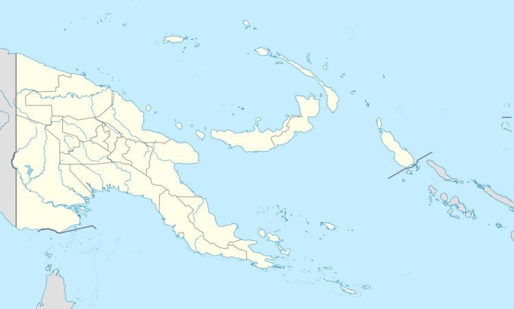
Map of Sabara Island, Papua New Guinea
References
Sabari Island Wikipedia(Text) CC BY-SA
