
Founded 1620 Demonym(s) Sabanalarguero Area 399 km² Local time Monday 6:58 AM | Incorporated 1833 Elevation 87 m Population 79,884 (2012) | |
 | ||
Time zone Colombia Standard Time (UTC-5) Weather 23°C, Wind SW at 3 km/h, 99% Humidity | ||
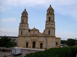
Sabanalarga ([saβanaˈlaɾɣa], Spanish for Large Plains) is a municipality in the Atlántico Department, Colombia. Founded in 1620 by Lucas Dionisio Tesillo y Diego and Marceliano de Jesús Almanza. Became a municipality in 1680.
Contents
Map of Sabanalarga, Atl%C3%A1ntico, Colombia
Geography
Sabanalarga is located in the middle of the Atlántico Department, Sabanalarga is surrounded to the North by the municipalities of Usiacurí, Baranoa and Polonuevo; to the East by the municipality of Ponedera; to the South by the municipalities of Candelaria and Manatí; to the Southwest with the municipality of Repelón and to the West with the municipalities of Luruaco and Piojó.
References
Sabanalarga, Atlántico Wikipedia(Text) CC BY-SA