
Country Spain Judicial district Inca Elevation 28 m Population 12,709 (2014) Postal code 07420 | Demonym(s) Poblers Area 48.59 km² Local time Monday 11:26 AM | |
 | ||
Weather 16°C, Wind E at 13 km/h, 73% Humidity | ||
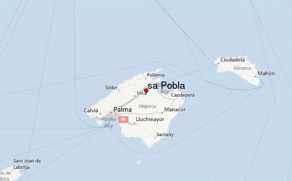
Sa Pobla ([sə ˈpɔbːɫə]) is a small municipality in the district of Raiguer on Majorca, one of the Spanish Balearic Islands. It is a terminus on the Majorca rail network.
Map of 07420 Sa Pobla, Balearic Islands, Spain
The town is in the north of the island. With an area of 48.53 square kilometres (18.74 sq mi), stretching from the Serra de Tramuntana, the Plan and the Bay of Alcúdia. It comprises three very different areas: the Marjal, fertile plains in large part devoted to irrigated agriculture; l 'lagoon, a large area of scenic and ecological value where the streams and San Miguel de Muro (of Almadrà).
References
Sa Pobla Wikipedia(Text) CC BY-SA