
Country Vietnam Capital Da Nang Area 60 km² Province Danang | Region South Central Coast Time zone UTC + 7 (UTC+7) Local time Tuesday 11:35 PM | |
 | ||
Weather 22°C, Wind S at 5 km/h, 86% Humidity Points of interest Dragon Bridge, Chùa Linh Ứng ‑ Bãi Bụt, Hàn River Bridge, công viên Biển Đông, Cây Đa Đại Thụ | ||
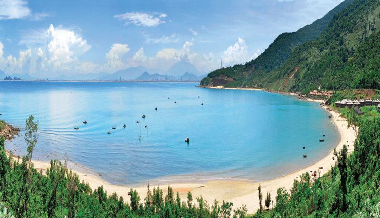
Sơn Trà is an urban district (quận) of Da Nang in the South Central Coast region of Vietnam. As of 2003 the district had a population of 112,196. The district covers an area of 60 km². The district is bounded by ocean to the north and east, the Han River to the west, and Ngu Hanh Son District to the south. Son Tra Mountain occupies a large portion of the district.
Map of S%C6%A1n Tr%C3%A0, Da Nang, Vietnam
The district is divided into 7 wards:
References
Sơn Trà District Wikipedia(Text) CC BY-SA