
Highest point Isachsen Mountain | ||
 | ||
Mountains Isachsen Mountain, Simensen Peak | ||
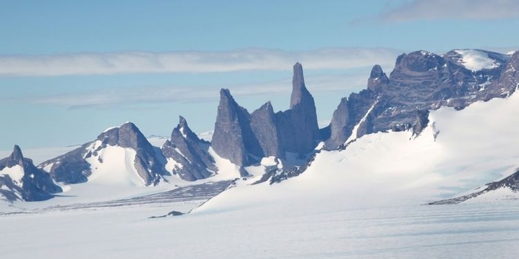
The Sør Rondane Mountains are a group of mountains about 100 miles (160 km) long with main peaks rising to 3400 m, between the Queen Fabiola Mountains and Wohlthat Mountains in Queen Maud Land. They were discovered and photographed from the air by members of the Lars Christensen Expedition on February 6, 1937, and named after Rondane, a mountain massif in southern Norway. The mountains were mapped in greater detail in 1957 by Norwegian cartographers working with air photos taken by U.S. Navy Operation Highjump, 1946-47.
Known peaks
References
Sør Rondane Mountains Wikipedia(Text) CC BY-SA