Founded May 21, 1878 Elevation 907 m Population 20,540 (2010) | Time zone UTC-3 (UTC-3) Area 3,273 km² | |
 | ||
Website São Francisco de Paula City Hall Weather 17°C, Wind N at 16 km/h, 87% Humidity | ||
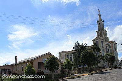
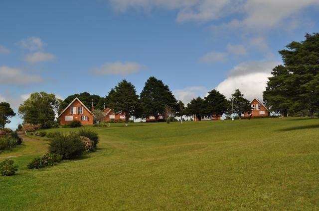
São Francisco de Paula is a city in the Serra Gaúcha of the state of Rio Grande do Sul, Brazil. The municipality covers about 3,289.7 km2 (1,270.2 sq mi) and sits about 112 km (70 mi) from Porto Alegre. City population estimate for 2004 is 19,968. The municipality was originally created on December 23, 1902.
The city is a tourist destination and is a link along two official scenic tourist routes: the Região das Hortênsias and the Rota Romântica.
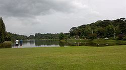
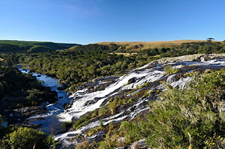
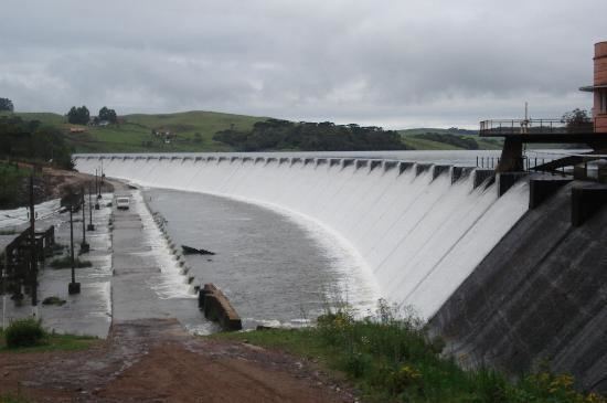
The municipality contains the São Francisco de Paula National Forest, a 1,616 hectares (3,990 acres) sustainable use conservation area created in 1968. It also contains part of the 6,655 hectares (16,440 acres) Tainhas State Park, created in 1975.
Climate
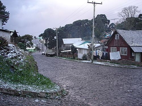
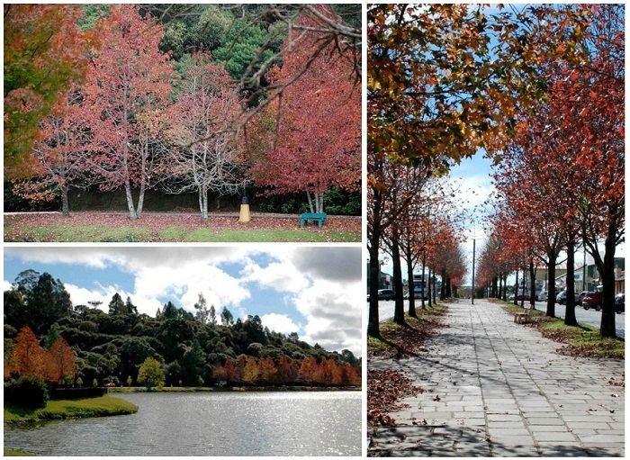
São Francisco de Paula Features an Oceanic climate (type Cfb), with humid, cool-to-warm summers and humid cold winters. The experience of Snowfalls on winters can occur every winter in few days between July and August. It is the wettest place in Rio Grande do Sul State with more than 2,100 millimetres (83 in) of rain precipitation per year.