
Postal Code 537271 Area 52.94 km² Population 2,047 (2011) | Time zone EET (UTC+2) Area code(s) +40 266 Local time Tuesday 8:38 AM | |
 | ||
Weather 2°C, Wind NE at 8 km/h, 89% Humidity | ||
Sântimbru (Hungarian: Csíkszentimre or colloquially Szentimre, [ˈtʃiːksɛntimrɛ], meaning "St. Emeric of Csík") is a commune in Harghita County, Romania. It lies in the Székely Land, an ethno-cultural region in eastern Transylvania.
Contents
Map of S%C3%A2ntimbru 537271, Romania
Component villages
The commune is composed of two villages:
History
The villages forming the commune were part of the Székely Land region of the historical Transylvania province. Between 1762 and 1851, the village belonged to military district of the 3rd Company of the First Székely Infantry Regiment. They belonged to Csíkszék district until the administrative reform of Transylvania in 1876, when they fell within the Csík County in the Kingdom of Hungary. After the Treaty of Trianon of 1920, they became part of Romania and fell within Ciuc County during the interwar period. In 1940, the second Vienna Award granted the Northern Transylvania to Hungary and the villages were held by Hungary until 1944. After Soviet occupation, the Romanian administration returned and the commune officially became part of Romania in 1947. Between 1952 and 1960, the commune fell within the Magyar Autonomous Region, between 1960 and 1968 the Mureș-Magyar Autonomous Region. In 1968, the autonomous region was abolished, and the commune has fallen within Harghita County. They used to be part of Sâncrăieni commune, but the villages broke off in 2004 forming the current commune.
Demographics
The commune has an absolute Hungarian (Székely) majority. According to the 2011 census it has a population of 2,047 of which 97.31% or 1,992 are Hungarian.
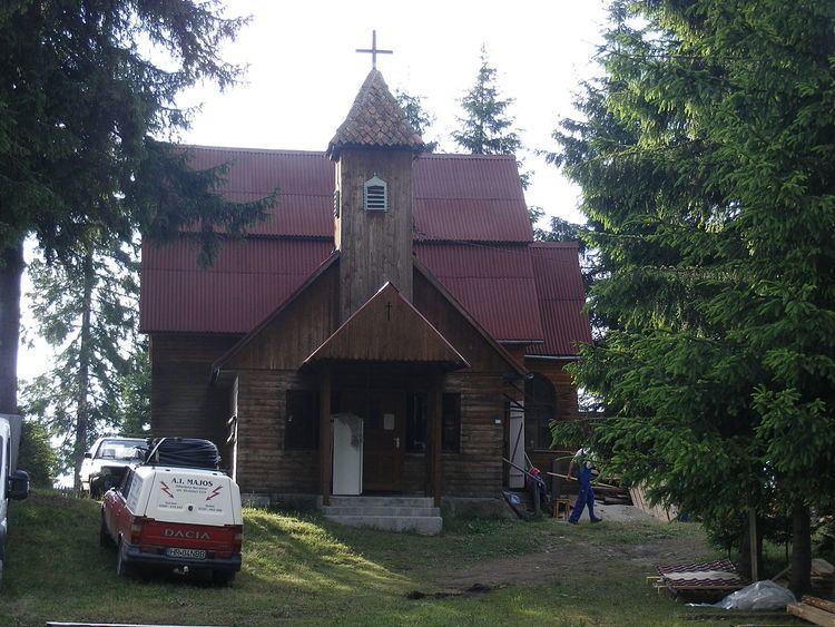
Landmarks
Twinnings
The commune is twinned with: