
OS grid reference TA222257 Sovereign state United Kingdom Postcode district HU12 Dialling code 01964 | Post town HULL Local time Saturday 1:58 PM | |
 | ||
Weather 14°C, Wind E at 10 km/h, 28% Humidity | ||
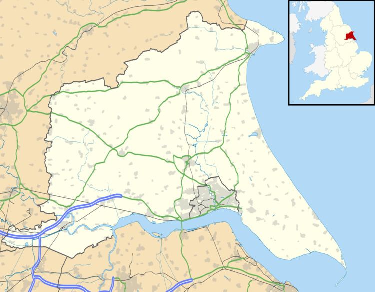
Ryehill is a hamlet in the East Riding of Yorkshire, England, in an area known as Holderness. It is situated approximately 7 miles (11 km) east of Hull city centre and lies just south of the A1033 road, (the main road from Hull to Withernsea).
Map of Ryehill, Hull, UK
It forms part of the civil parish of Thorngumbald.
Ryhill was served from 1854 to 1964 by Burstwick railway station on the Hull and Holderness Railway.
The hamlet itself consists of 15 or so houses, and two main lanes that run through the hamlet are Marsh and Pitt Lanes (both of these are 30 mph). Ryehill is mainly known for its award-winning pub, The Crooked Billet (CAMRA Pub of the Year, 2007).
There are not a large number of minors in the hamlet, however those who are present attend Thorngumbald Primary school, usually followed by South Holderness Technology College (a large secondary school on the outskirts of Hedon). The crime rate is almost non-existent in the local area.
Ryehill is surrounded by fields and grazing land, but is within walking distance of the villages of Thorngumbald and Keyingham, both of which offer all the local amenities.