
Country United States FIPS code 19-69330 Elevation 439 m Zip code 51358 Local time Saturday 4:47 AM | Time zone Central (CST) (UTC-6) GNIS feature ID 0460866 Area 109 ha Population 711 (2013) Area code 712 | |
 | ||
Weather 2°C, Wind NE at 32 km/h, 98% Humidity | ||
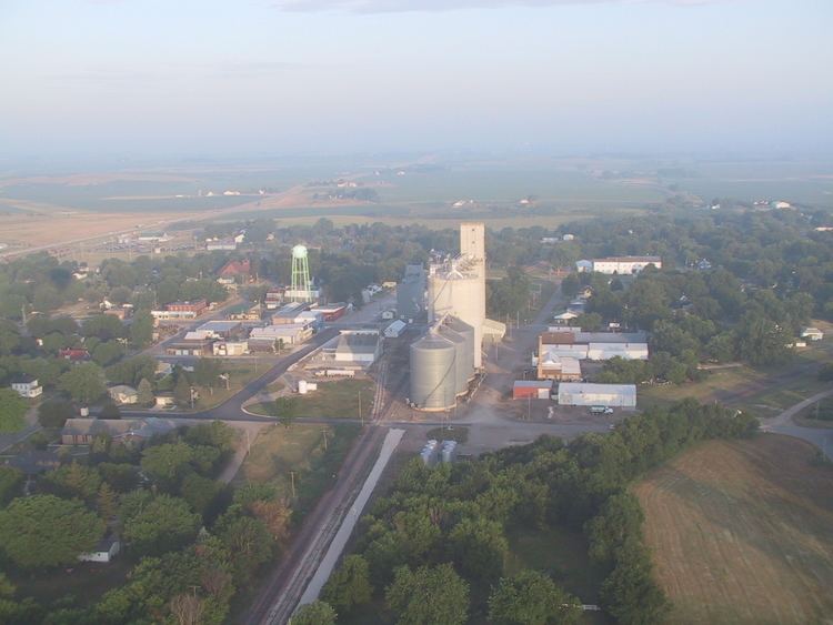
Ruthven is a city in Palo Alto County, Iowa, United States. The population was 737 at the 2010 census.
Contents
Map of Ruthven, IA 51358, USA
History
Ruthven had its start in the year 1878 by the building of the Milwaukee railroad through that territory. It was named for the Ruthven brothers, who owned the town site.
Geography
Ruthven is located at 43°7′50″N 94°54′1″W (43.130448, -94.900207).
According to the United States Census Bureau, the city has a total area of 0.42 square miles (1.09 km2), all of it land.
2010 census
As of the census of 2010, there were 737 people, 320 households, and 184 families residing in the city. The population density was 1,754.8 inhabitants per square mile (677.5/km2). There were 364 housing units at an average density of 866.7 per square mile (334.6/km2). The racial makeup of the city was 99.1% White, 0.5% Native American, and 0.4% from two or more races. Hispanic or Latino of any race were 0.8% of the population.
There were 320 households of which 25.0% had children under the age of 18 living with them, 43.1% were married couples living together, 8.1% had a female householder with no husband present, 6.3% had a male householder with no wife present, and 42.5% were non-families. 36.6% of all households were made up of individuals and 21.2% had someone living alone who was 65 years of age or older. The average household size was 2.21 and the average family size was 2.91.
The median age in the city was 42.2 years. 22.3% of residents were under the age of 18; 7.4% were between the ages of 18 and 24; 22.6% were from 25 to 44; 21.5% were from 45 to 64; and 26.2% were 65 years of age or older. The gender makeup of the city was 47.4% male and 52.6% female.
2000 census
As of the census of 2000, there were 711 people, 325 households, and 202 families residing in the city. The population density was 1,688.3 people per square mile (653.6/km²). There were 350 housing units at an average density of 831.1 per square mile (321.8/km²). The racial makeup of the city was 97.19% White, 0.42% Native American, 0.28% Asian, and 2.11% from two or more races. Hispanic or Latino of any race were 1.41% of the population.
There were 325 households out of which 24.0% had children under the age of 18 living with them, 49.8% were married couples living together, 8.6% had a female householder with no husband present, and 37.8% were non-families. 32.3% of all households were made up of individuals and 18.2% had someone living alone who was 65 years of age or older. The average household size was 2.19 and the average family size was 2.76.
20.0% were under the age of 18, 10.7% from 18 to 24, 22.4% from 25 to 44, 21.1% from 45 to 64, and 25.9% were 65 years of age or older. The median age was 42 years. For every 100 females there were 92.2 males. For every 100 females age 18 and over, there were 89.7 males.
The median income for a household in the city was $31,027, and the median income for a family was $40,469. Males had a median income of $26,094 versus $16,719 for females. The per capita income for the city was $17,079. About 4.7% of families and 9.0% of the population were below the poverty line, including 8.5% of those under age 18 and 9.1% of those age 65 or over.