
OS grid reference TA064617 Sovereign state United Kingdom Postcode district YO25 Dialling code 01377 | Post town DRIFFIELD Local time Saturday 7:43 AM | |
 | ||
Weather 2°C, Wind W at 3 km/h, 79% Humidity | ||
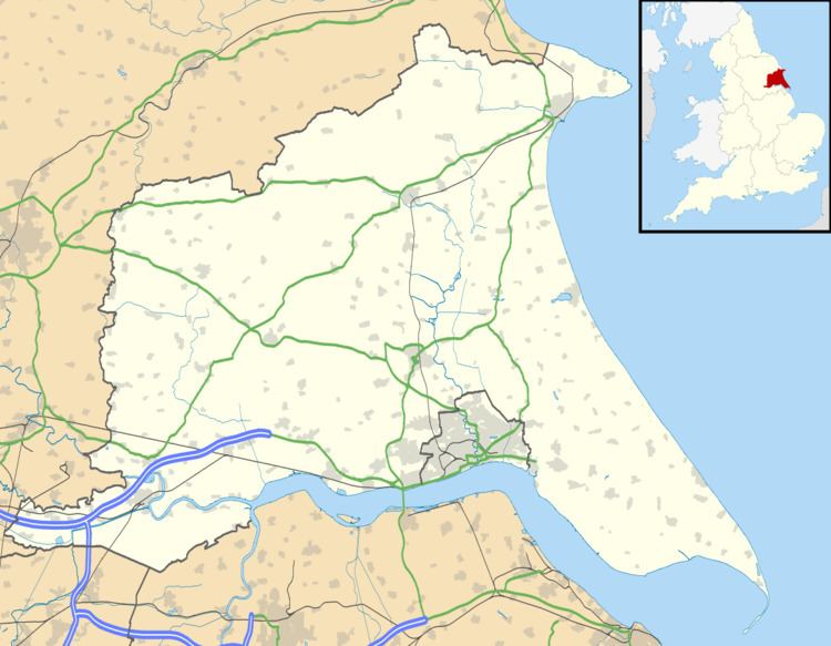
Ruston Parva is a hamlet in the East Riding of Yorkshire, England. It is situated approximately 8 miles (13 km) south-west of Bridlington and lies just north of the A614. It forms part of the civil parish of Harpham.
Map of Ruston Parva, Driffield, UK
In the Domesday account the village is written as “Roreston”, and in 1066 and 1086 lordship of the manor was held by the Canons of Church of St John, Beverley.
Evidence of Medieval occupation has been recorded in the village though observations of earthworks, indicating ridge and furrow field systems, enclosures and a hollow way. In 1968 ditch remains of a moat were observed at the south of the village. The moat may have been part of Upper House manor house.
Ruston Parva's Grade II* listed Anglican church is dedicated to St Nicholas. It was built in Norman style in 1832 from ashlar and yellow brick, and has a tower supported inside by cast iron pillars. Its two deck pulpit and box pews also probably date from 1832.
Leeds based band Kaiser Chiefs originally named themselves Runston Parva after the East Riding of Yorkshire village.