
Population 1,288 (2006 census) Postal code 2517 | Postcode(s) 2517 Area 197 ha | |
 | ||
Location 7.180 km (4 mi) from Wollongong | ||
Russell Vale is a small suburb of Wollongong in the Illawarra region of New South Wales, Australia. It straddles the Princes Highway. The suburb is suggested to have been named after the son of Francis Peter MacCabe, Russell, who died in an accident; although "Russell" it is more likely to be named after the MacCabe property, Russell, the namesake of Francis McCabe's mother.
Contents
Map of Russell Vale NSW 2517, Australia
Sporting amenities
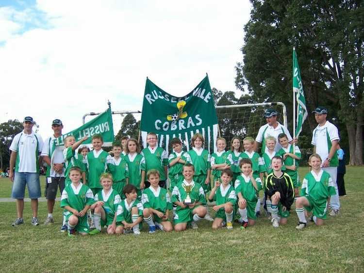
Russell Vale is the home of the Russell Vale Golf Course, opened in 1986. It also comprises the soccer field of Cawley Park, the homeground of the Russell Vale Soccer Club.
Demographics
At the ABS 2006 census, Russell Vale had a population of 1,288 people, an increase of 51 people or 4.1% from the 2001 census.
Median family incomes in Russell Vale were below average for the Wollongong LGA at $1,121 per week, compared with $1,149 per week respectively. Despite this, housing costs in Russell Vale were substantially higher than in the rest of the Wollongong LGA, with median rents $20 per week greater and median mortgage repayments $89 per week greater.
Mining
Russell Vale Colliery is an underground coal mine under the Woronora Plateau in the Sydney Drinking Water Catchment Area to the west of Russell Vale. The mine has been in operation since the 1880s using various underground mining methods to mine different coal seams. More recently, the mine has come under attack from local residents, as subsidence and cracking attributed to the mine's activities have been observed in the catchment area