
Country United States GNIS feature ID 0766393 Area 369.9 km² Population 2,495 (2000) | FIPS code 29-63668 Elevation 335 m Local time Friday 9:24 PM | |
 | ||
Weather 14°C, Wind S at 11 km/h, 91% Humidity | ||
Russell Township is one of eleven townships in Camden County, Missouri, USA. As of the 2000 census, its population was 2,495.
Contents
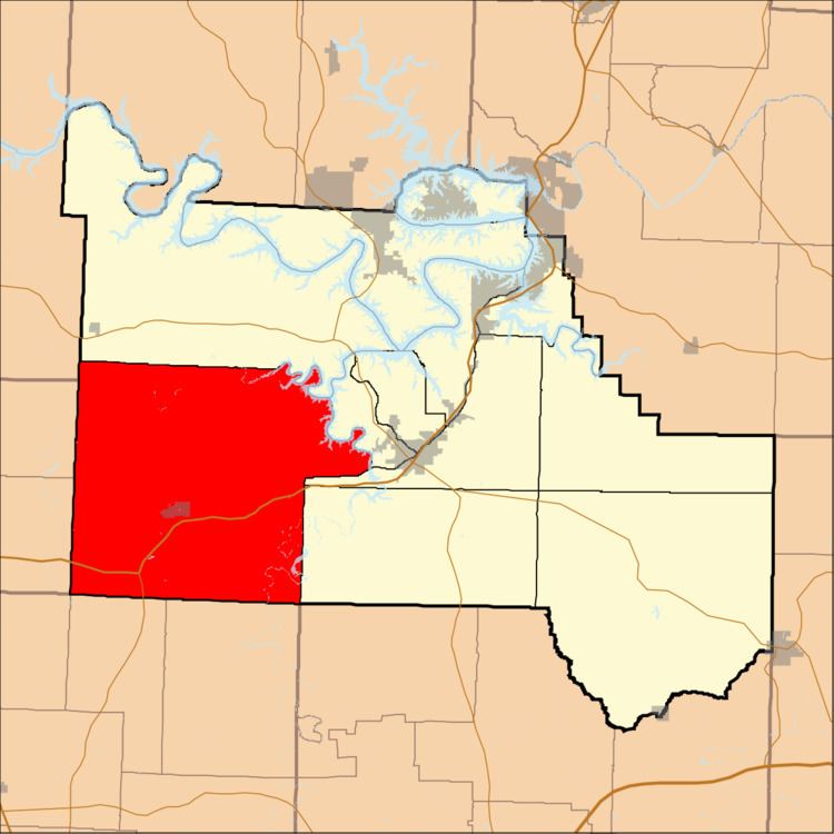
Map of Russell Township, MO, USA
Russell Township was established in 1841.
Geography
Russell Township covers an area of 142.83 square miles (369.9 km2) and contains one incorporated settlement, Macks Creek. It contains nine cemeteries: Creach, Edwards, Green, Hurst, Mills, Raggs, Stanton, Warren and Wiley Gott.
The streams of A B Creek, Broadus Branch, Brush Creek, Brush Creek, Jacks Creek, Kolb Branch, Little Brush Creek, Little Niangua River, Long Branch, Macks Creek, Pennel Branch, Phillips Branch, Watson Branch and Woodall Branch run through this township.
Public Areas
Public Areas include:
References
Russell Township, Camden County, Missouri Wikipedia(Text) CC BY-SA