
Established 1853 Founded 1853 Population 2,066 (2006) Federal division Division of Murray | Postcode(s) 3612 Postal code 3612 Local time Saturday 12:09 PM | |
 | ||
Location 157 km (98 mi) N of Melbourne47 km (29 mi) SW of Shepparton Weather 22°C, Wind E at 14 km/h, 68% Humidity | ||
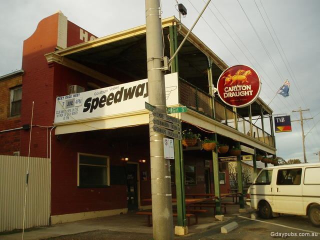
Rushworth is a township in Victoria, Australia. It is located 157 kilometres (98 mi) north of Melbourne and, at the 2011 census, had a population of 1,381.
Contents
Map of Rushworth VIC 3612, Australia
History
Rushworth was established during the Victorian gold rush in 1853. It was named by poet and later local Goldfields Commissioner Richard Henry Horne in 1854. Its post office opened on 16 September 1857.
The goldfields became no longer viable due to the underground water table and were closed during the gold rush.
Athletics
The town has an Australian rules football team competing in the Kyabram & District Football League.
Golfers play at the course of the Rushworth Golf Club on Tatura Road.
References
Rushworth, Victoria Wikipedia(Text) CC BY-SA