Country United States Time zone Eastern (EST) (UTC-5) Elevation 457 m Population 363 (2010) | State New York ZIP code 14777 Area 140 ha | |
 | ||
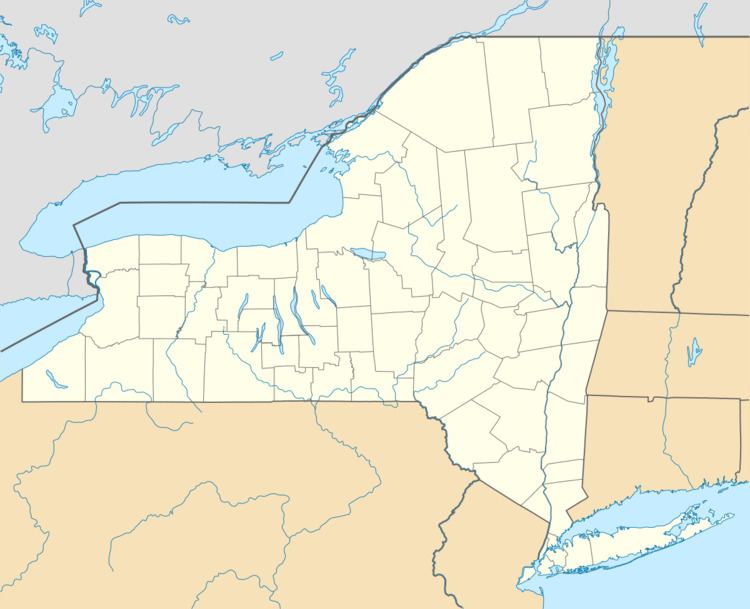
Rushford is a census-designated place comprising the central settlement in the town of Rushford, Allegany County, New York, United States. As of the 2010 census it had a population of 363, out of a total population of 1,150 in the town.
Geography
The Rushford CDP is located near the center of the town of Rushford, north of Caneadea Creek, a tributary of the Genesee River. New York State Route 243 bypasses the center of the community, forming the northeast edge of the CDP. It leads east 6 miles (10 km) to Route 19 in the Genesee River valley and northwest into Cattaraugus County.
According to the United States Census Bureau, the Rushford CDP has a total area of 0.54 square miles (1.4 km2).
References
Rushford (CDP), New York Wikipedia(Text) CC BY-SA
