
Length 120 km (75 mi) NE/SW Elevation 6,083 m | Width 35 km (22 mi) NW/SE Age of rock Paleozoic | |
 | ||
Types of rock Granite, Schist, Quartzite, Sandstone, Limestone, Gneiss | ||
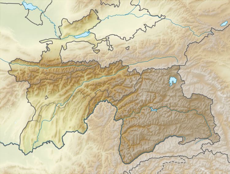
Rushan Range is a mountain range in south-western Pamir in Tajikistan, trending in the south-westerly direction from Sarez Lake toward Khorog, between Gunt River to the south and Bartang River to the north. About 120 km long, it reaches its highest elevation of 6,083 m at Patkhor Peak.
References
Rushan Range Wikipedia(Text) CC BY-SA