
Time zone CST (UTC-6) Area 95.3 km² Population 380 (2010) | Established November 2, 1852 Elevation 299 m Local time Friday 7:32 PM | |
 | ||
ZIP codes 61001, 61059, 61085, 61087 Weather 12°C, Wind NE at 16 km/h, 85% Humidity | ||
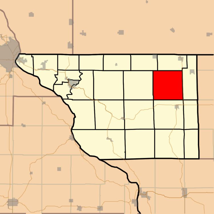
Rush Township is one of twenty-three townships in Jo Daviess County, Illinois, USA. As of the 2010 census, its population was 380 and it contained 188 housing units.
Contents
- Map of Rush Township IL USA
- Geography
- Adjacent townships
- Cemeteries
- Landmarks
- School districts
- Political districts
- References
Map of Rush Township, IL, USA
Geography
According to the 2010 census, the township has a total area of 36.8 square miles (95 km2), all land.
Adjacent townships
Cemeteries
The township contains these four cemeteries. Millville, Oakland (also known as Puckett), Townsend and Robinson.
Landmarks
School districts
Political districts
References
Rush Township, Jo Daviess County, Illinois Wikipedia(Text) CC BY-SA