
Country United States GNIS feature ID 0766344 Area 71.58 km² Population 871 (2000) | FIPS code 29-63542 Elevation 300 m Local time Friday 7:31 PM | |
 | ||
Weather 15°C, Wind E at 16 km/h, 97% Humidity | ||
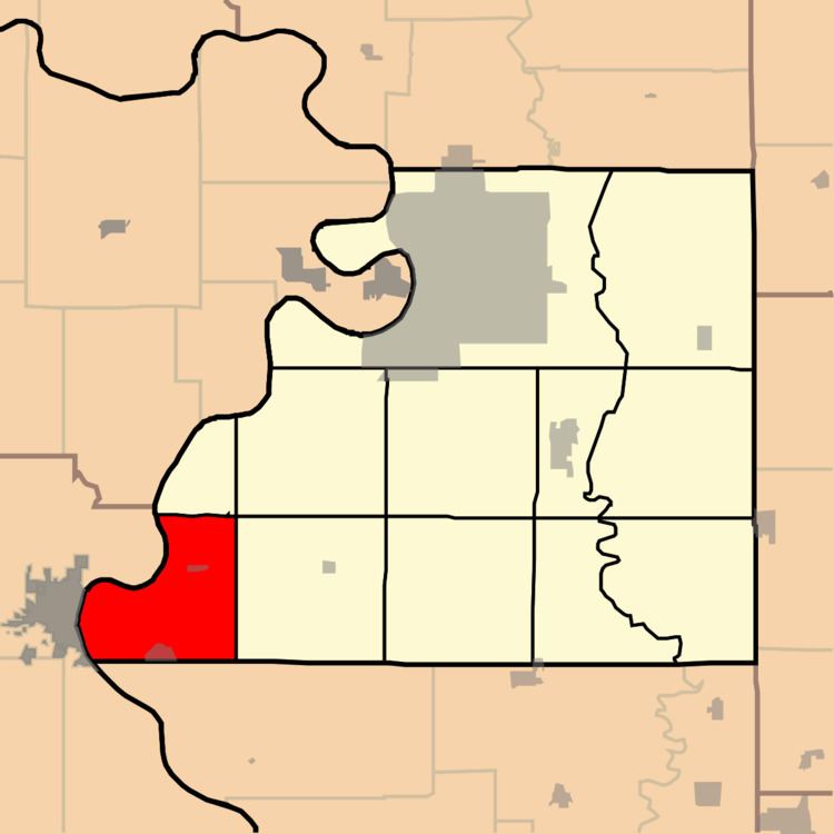
Rush Township is one of twelve townships in Buchanan County, Missouri, USA. As of the 2000 census, its population was 871.
Contents
Map of Rush Township, MO 64484, USA
Rush Township was established in the 1840s.
Geography
Rush Township covers an area of 27.64 square miles (71.6 km2) and contains two incorporated settlements: Lewis and Clark Village and Rushville. It contains four cemeteries: Armstrong, Gore, Hudseph and Sugar Creek.
Lewis and Clark Lake and Mud Lake are within this township. The streams of Goose Creek, Horseshoe Slough, Little Sugar Creek and Lost Creek run through this township.
Transportation
Rush Township contains one airport or landing strip, East Atchison Airport (historical).
References
Rush Township, Buchanan County, Missouri Wikipedia(Text) CC BY-SA