
Country India District Guntur PIN 522410 Elevation 38 m Area code 08640 | State Andhra Pradesh Time zone IST (UTC+5:30) Telephone code 08640 Local time Friday 2:25 PM | |
 | ||
Weather 40°C, Wind E at 5 km/h, 23% Humidity | ||
Rudravaram is a village in Achampeta mandal, Guntur district, Andhra Pradesh, India. It has a population of about 1600 and about 1000 voters. Rudravaram has one upper primary school which includes primary school, an overhead drinking water facility from river Krishna, Panchayathi building, and bus shelters. The main source of living is cultivation. Moderate water facilities for farms includes 2 lift irrigations on river Krishna, one stream between Rudravaram and Vorvakallu and a big lake in Vorvakallu. Its main crops are paddy, cotton, chillies, and jute.
Contents
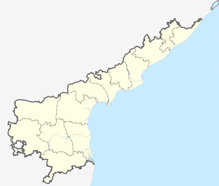
Map of Rudravaram, Andhra Pradesh 522409
Geography
Rudravaram (Vorvakallu) is located at 16.602389°N 80.163275°E / 16.602389; 80.163275. It has an average elevation of 198 meters (652 feet).
References
Rudravaram, Guntur Wikipedia(Text) CC BY-SA