Country Canada Area 47 ha Province Saskatchewan | Post office Founded 1906-01-15 Population 20 (2006) Local time Friday 12:54 AM | |
 | ||
Rural Municipalities (R.M.) Mayfield No. 406, Saskatchewan Weather -2°C, Wind SE at 5 km/h, 85% Humidity | ||
Ruddell, Saskatchewan is a village in the rural municipality of Mayfield No. 406, Saskatchewan, in the Canadian province of Saskatchewan. Ruddell is located on Saskatchewan Highway 16, the Yellowhead in north western Saskatchewan. Ruddell post office first opened in 1906 at the legal land description of Sec.7, Twp.42, R.13, W3 - . Ruddell is located just southeast of North Battleford, Saskatchewan.
Contents
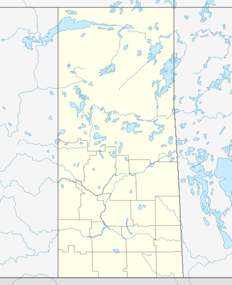
Map of Ruddell, SK, Canada
Area statistics
References
Ruddell, Saskatchewan Wikipedia(Text) CC BY-SA
