
Established 1914 Region Eyre and Western Local time Friday 5:04 PM | Postcode(s) 5642 County Jervois Postal code 5642 | |
 | ||
Weather 32°C, Wind SW at 18 km/h, 26% Humidity | ||
Rudall is a settlement in South Australia. At the 2006 census, Rudall had a population of 130. It is named for the cadastral Hundred of Rudall, which was named after politician Samuel Rudall.
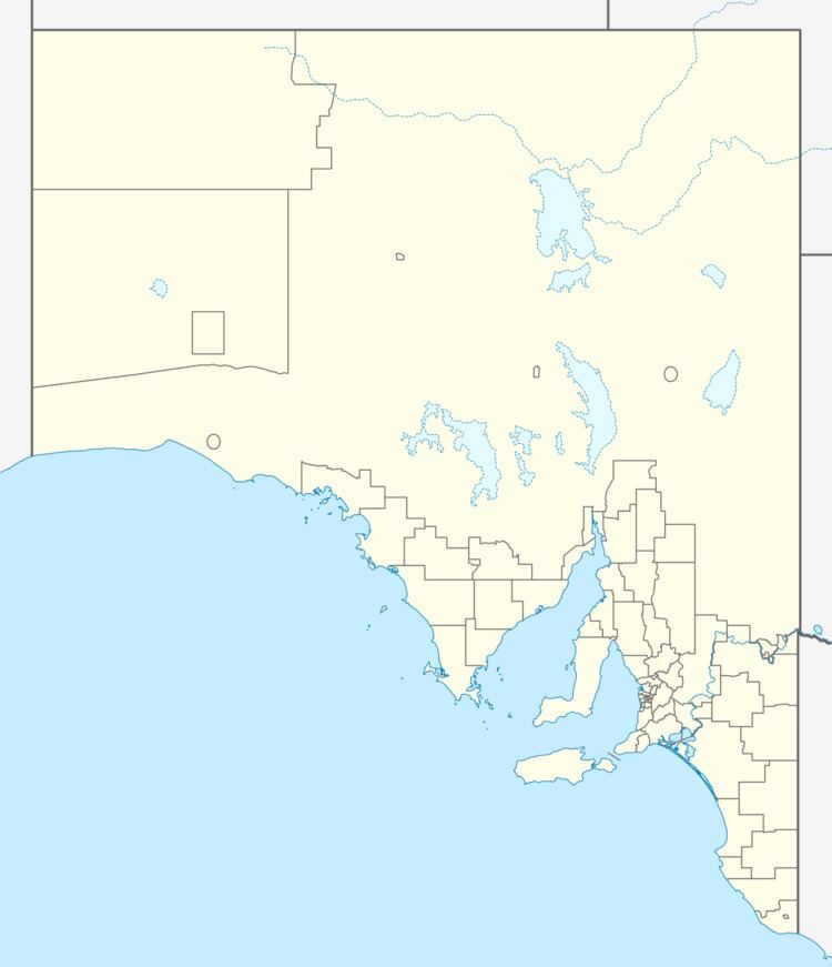
Map of Rudall SA 5642, Australia
It is a grain and sheep service centre on Eyre Peninsula. It is on the Eyre Peninsula Railway between Cummins and Kimba and the Birdseye Highway between Cleve and Lock.
Rudall Centre School opened on 1921 and closed in 1946, while the Hundred of Rudall School opened in 1917 and closed in 1949. A postal receiving office opened at Rudall on 3 January 1914, was upgraded to a post office on 1 January 1921, and became a community mail agent on 10 January 1992. It formerly had a Methodist church.
Rudall is located within the federal division of Grey, the state electoral district of Flinders and the local government area of the District Council of Cleve.