
Elevation 3,107 m | Prominence 170 m | |
 | ||
Similar Hausstock, Muttenstock, Nüschenstock, Bifertenstock, Selbsanft | ||
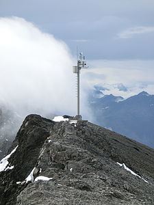
The Ruchi is a mountain in the Glarus Alps, located at an elevation of 3,107 m (10,194 ft) on the border between the Swiss cantons of Glarus and Graubünden. It overlooks the Muttsee (2,446 m or 8,025 ft) on its west side from where a trail leads to the summit. On its south-east side lies a small glacier, the Glatscher da Gavirolas. The Ruchi is connected to the higher summit of the Hausstock on the north-east by a 2 km (1.2 mi) long ridge.
Map of Ruchi, 7158 Glarus S%C3%BCd, Switzerland
The nearest settlements are the villages of Linthal to the north, and Andiast to the south. Administratively, the mountain lies in the municipalities of Glarus Süd and Waltensburg/Vuorz.
References
Ruchi (Glarus Alps) Wikipedia(Text) CC BY-SA