
Local time Friday 6:29 AM | Elevation 400 m | |
 | ||
Weather 30°C, Wind S at 3 km/h, 36% Humidity | ||
Rubkona (or Rub Kona, Rub-Koni) is a town in Unity State, South Sudan. It lies on the northern bank of the Bahr el Ghazal River, connected by bridge to the state capital Bentiu. This bridge was bombed by Sudanese Mig 29 bombers on Monday, April 23, 2012. Rubkona is the administrative center of Rubkona County.
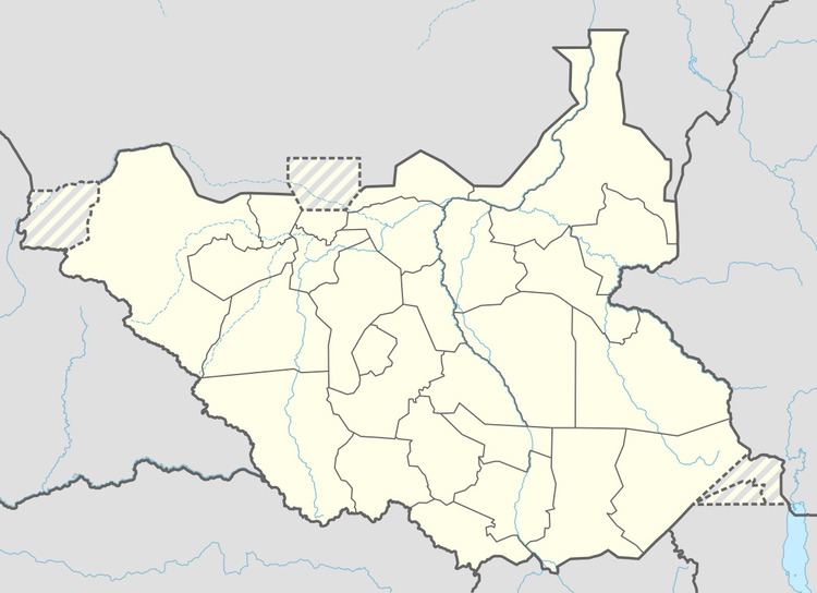
Map of Rubkona, South Sudan
During the Second Sudanese Civil War (1983-2005), conditions were extremely poor and dangerous. Refugees from the countryside moved to the town for greater safety. After the peace agreement was signed in January 2005 there have been great improvements. The town now has a large market, and roads to the south are being greatly improved. In the rainy season Rubkona is flooded. People must move from one part of town to another to escape the water.