
Country New Zealand Territorial authority Local time Friday 3:02 PM | Region Bay of Plenty Ward Galatea-Murupara | |
 | ||
Weather 20°C, Wind NW at 23 km/h, 77% Humidity | ||
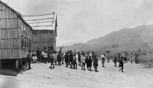
The town of Ruatahuna is located in the northeast of New Zealand's North Island, 90 kilometres west of Gisborne, and 18 kilometres northwest of Lake Waikaremoana. It is situated on the unsealed part of SH38, from Wai-O-Tapu via Murupara to Wairoa.
Map of Ruatahuna, New Zealand
A small town in the upper reaches of the Whakatane River, Ruatahuna is in the remote country of the Ureweras, and is surrounded on three sides by the former Te Urewera National Park. The area was the site of much action during the Maori Wars of the 1860s and 1870s.
It is a subdivision of the Galatea-Murupara ward of the Whakatane District.
References
Ruatahuna Wikipedia(Text) CC BY-SA