
Area 54.88 km² Population 782 (2011) | Region Plzeň Postal code 348 07 Elevation 570 m Local time Friday 1:46 AM | |
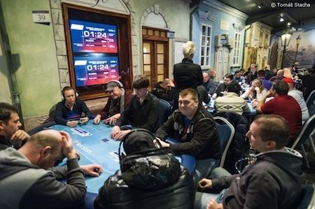 | ||
Weather 3°C, Wind E at 21 km/h, 99% Humidity Points of interest King's Casino, Rozhledna Milíře, Zámek Diana, Diana, Muzeum Pohraniční stráže | ||
Rozvadov (German Roßhaupt) is a village and municipality (obec) in Tachov District in the Plzeň Region of the Czech Republic, on the border with Germany.
Map of 348 06 Rozvadov, Czechia
The municipality covers an area of 54.88 square kilometres (21.19 sq mi), and has a population of 821 (as at 28 August 2006).
Rozvadov lies approximately 17 kilometres (11 mi) south of Tachov, 61 km (38 mi) west of Plzeň, and 143 km (89 mi) west of Prague.
References
Rozvadov Wikipedia(Text) CC BY-SA