
Time zone CST (UTC-6) Area 94.35 km² | Established November 6, 1906 Elevation 220 m Population 271 (2010) | |
 | ||
ZIP codes 61418, 61447, 61453, 61462, 61469 | ||
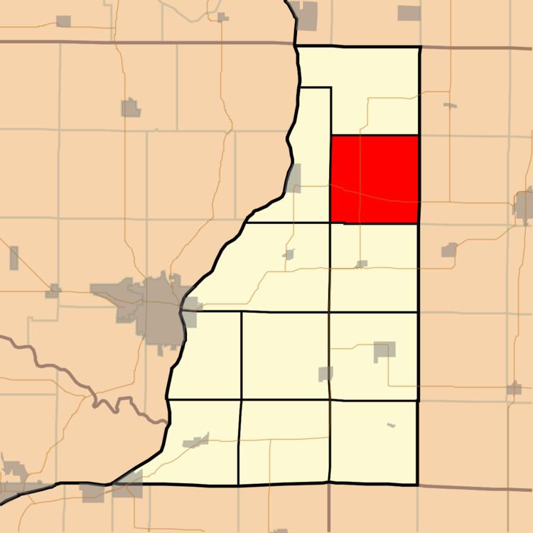
Rozetta Township is one of eleven townships in Henderson County, Illinois, USA. As of the 2010 census, its population was 271 and it contained 121 housing units.
Contents
- Map of Rozetta Township IL USA
- Geography
- Unincorporated towns
- Cemeteries
- Major highways
- Airports and landing strips
- School districts
- Political districts
- References
Map of Rozetta Township, IL, USA
Geography
According to the 2010 census, the township has a total area of 36.43 square miles (94.4 km2), of which 36.42 square miles (94.3 km2) (or 99.97%) is land and 0.01 square miles (0.026 km2) (or 0.03%) is water.
Unincorporated towns
(This list is based on USGS data and may include former settlements.)
Cemeteries
The township contains these six cemeteries: Coghill, Cumberland, Reed, Rozetta, Smith Creek and Stockton.
Major highways
Airports and landing strips
School districts
Political districts
References
Rozetta Township, Henderson County, Illinois Wikipedia(Text) CC BY-SA