
Country United States Time zone Central (CST) (UTC-6) Elevation 573 m Zip code 68773 Population 61 (2013) | Established 1890 FIPS code 31-42495 Area 36 ha Local time Thursday 6:31 PM Area code 402 | |
 | ||
Weather 16°C, Wind SE at 8 km/h, 79% Humidity | ||
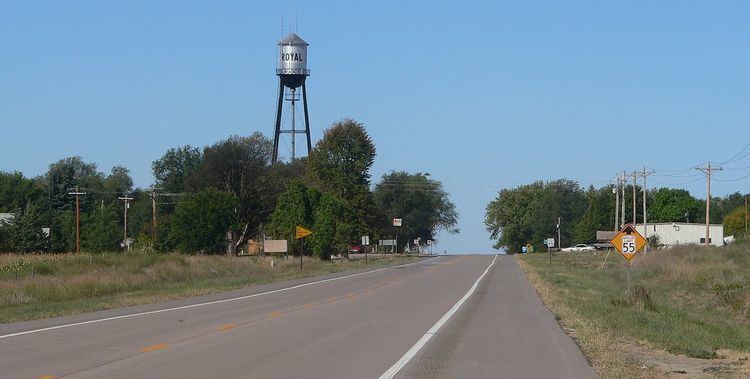
Royal is a village in Antelope County, Nebraska, United States. The population was 63 at the 2010 census.
Contents
Map of Royal, NE 68773, USA
History
The community was established in 1890 (or 1880), and was originally named "Savage". The community was renamed after Royal Thayer, who helped establish the post office.
Geography
Royal is located at 42°20′1″N 98°7′26″W (42.333688, −98.123833).
According to the United States Census Bureau, the village has a total area of 0.14 square miles (0.36 km2), all of it land.
2010 census
As of the census of 2010, there were 63 people, 29 households, and 14 families residing in the village. The population density was 450.0 inhabitants per square mile (173.7/km2). There were 38 housing units at an average density of 271.4 per square mile (104.8/km2). The racial makeup of the village was 98.4% White and 1.6% from two or more races. Hispanic or Latino of any race were 1.6% of the population.
There were 29 households of which 24.1% had children under the age of 18 living with them, 37.9% were married couples living together, 3.4% had a female householder with no husband present, 6.9% had a male householder with no wife present, and 51.7% were non-families. 41.4% of all households were made up of individuals and 17.2% had someone living alone who was 65 years of age or older. The average household size was 2.17 and the average family size was 2.79.
The median age in the village was 45.1 years. 19% of residents were under the age of 18; 7.9% were between the ages of 18 and 24; 22.2% were from 25 to 44; 36.5% were from 45 to 64; and 14.3% were 65 years of age or older. The gender makeup of the village was 55.6% male and 44.4% female.
2000 census
As of the census of 2000, there were 75 people, 34 households, and 21 families residing in the village. The population density was 523.6 people per square mile (206.8/km²). There were 40 housing units at an average density of 279.3 per square mile (110.3/km²). The racial makeup of the village was 100.00% White.
There were 34 households out of which 29.4% had children under the age of 18 living with them, 58.8% were married couples living together, and 38.2% were non-families. 38.2% of all households were made up of individuals and 23.5% had someone living alone who was 65 years of age or older. The average household size was 2.21 and the average family size was 2.90.
In the village, the population was spread out with 22.7% under the age of 18, 8.0% from 18 to 24, 26.7% from 25 to 44, 20.0% from 45 to 64, and 22.7% who were 65 years of age or older. The median age was 42 years. For every 100 females there were 87.5 males. For every 100 females age 18 and over, there were 123.1 males.
As of 2000 the median income for a household in the village was $27,292, and the median income for a family was $50,000. Males had a median income of $34,063 versus $18,125 for females. The per capita income for the village was $13,414. There were 7.7% of families and 6.6% of the population living below the poverty line, including no under eighteens and 19.0% of those over 64.
Parks and recreation
The Ashfall Fossil Beds State Historical Park is located six miles from Royal. The park features well preserved skeletons of prehistoric animals, and is a joint project of the Nebraska Game and Parks Commission and the University of Nebraska State Museum.