
Time zone Eastern (UTC-5) Zip code 06783 Local time Thursday 11:05 AM | Incorporated 1796 Elevation 165 m Population 2,327 (2005) | |
 | ||
Region Northwestern Connecticut Weather -2°C, Wind NW at 18 km/h, 25% Humidity | ||
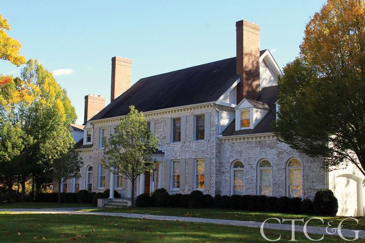
67 tophet road home for sale in roxbury connecticut virtual tour
Roxbury is a town in Litchfield County, Connecticut, United States. The population was 2,136 at the 2000 census.
Contents
- 67 tophet road home for sale in roxbury connecticut virtual tour
- Map of Roxbury CT USA
- History
- Geography
- Principal communities
- On the National Register of Historic Places
- Demographics
- Transportation
- Roads in Roxbury on the List of Connecticut State Scenic Highways
- Local media
- Notable people
- References
Map of Roxbury, CT, USA
History
Roxbury, whose Indian name was "Shepaug", a Mahican name signifiying "rocky water", was settled about the year 1713. Originally a part of Woodbury, the town was incorporated in October 1796.
Mine Hill and its minerals have been associated with Roxbury since the middle of the 18th century. A silver mine was opened here and was later found to contain spathic iron, specially adapted to steel making and a small smelting furnace was built. The abundance of granite found in many of Mine Hill's quarries provided the building material for the ore roaster and blast furnace, as well as for such world wonders as the Brooklyn Bridge and Grand Central Terminal in New York City.
Geography
According to the United States Census Bureau, the town has a total area of 26.3 square miles (68 km2), of which, 26.2 square miles (68 km2) of it is land and 0.1 square miles (0.26 km2) of it (0.23%) is water.
Principal communities
On the National Register of Historic Places
Three places in Roxbury, Connecticut are included on the National Register of Historic Places listing. They are:
Demographics
As of the census of 2000, there were 2,136 people, 848 households, and 620 families residing in the town. The population density was 81.4 people per square mile (31.4/km²). There were 1,018 housing units at an average density of 38.8 per square mile (15.0/km²). The racial makeup of the town was 97.24% White, 0.23% African American, 0.19% Native American, 0.94% Asian, 0.66% from other races, and 0.75% from two or more races. Hispanic or Latino of any race were 1.31% of the population.
There were 848 households out of which 29.2% had children under the age of 18 living with them, 66.5% were married couples living together, 4.2% had a female householder with no husband present, and 26.8% were non-families. 20.3% of all households were made up of individuals and 7.1% had someone living alone who was 65 years of age or older. The average household size was 2.52 and the average family size was 2.95.
In the town, the population was spread out with 22.8% under the age of 18, 3.7% from 18 to 24, 25.5% from 25 to 44, 34.3% from 45 to 64, and 13.8% who were 65 years of age or older. The median age was 44 years. For every 100 females there were 104.0 males. For every 100 females age 18 and over, there were 102.0 males.
The median income for a household in the town was $87,794, and the median income for a family was $97,672. Males had a median income of $61,477 versus $45,417 for females. The per capita income for the town was $56,769. About 3.0% of families and 3.9% of the population were below the poverty line, including 4.1% of those under age 18 and 6.3% of those age 65 or over.
Transportation
Route 67 is the main thoroughfare in the town, connecting it to New Milford and Southbury. The town is also served by secondary highways, Route 199 (to Washington) and Route 317 (to Woodbury).
Roads in Roxbury on the List of Connecticut State Scenic Highways
The following roads are Connecticut State Scenic Highways: