
Population 19,235 (2011 census) Postcode(s) 3064 State electorate(s) YurokeBroadmeadows Founded 1992 | Established 1992 Area 5.1 km² Postal code 3064 | |
 | ||
Location 20 km (12 mi) from Melbourne | ||
Roxburgh Park is a suburb of Melbourne, Australia, 20 kilometres (12 mi) north of Melbourne's central business district. Its local government area is the City of Hume. At the 2011 Census, Roxburgh Park had a population of 19,235.
Contents
Map of Roxburgh Park VIC 3064, Australia
Roxburgh Park is bounded by Craigieburn in the north, in the west by the road skirting the Greenvale Reservoir, in the east by the Craigieburn railway line, and in the south by Somerton Road.
History
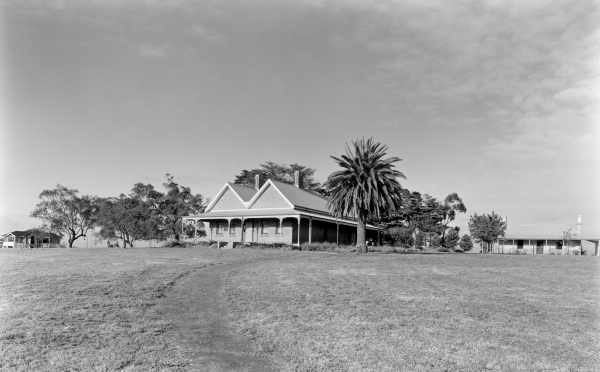
Much of what is now the suburb of Roxburgh Park was formerly agricultural land. In January 1951 the Moonee Valley Racing Club bought the 832 acres (337 ha) "Roxburgh Park" property for £35,000, as a speculative investment, although the purchase did give the club an option if it ever had to leave its somewhat cramped location in Moonee Ponds.
Roxburgh Park was developed in the 1990s as a suburban area by the Victorian Government's Urban and Regional Land Corporation (later "VicUrban" and then "Places Victoria") (not unlike the new towns in green wedges of Britain).
Recognition of Roxburgh Park was promoted in widely screened TV commercials throughout the mid-1990s, presenting Roxburgh Park's avowed virtues as a planned community with a balance of residential and industrial land, along with public reserves (part of the Shankland Reserve is in the south of Roxburgh Park), community services and access to transport. The slogan for the campaign was "Roxburgh Park – where dreams come true..."
Developments over recent years include child care centres, a retirement village and an Islamic centre. The Roxburgh Park railway station opened on 30 September 2007. The commercial hub of the suburb is on Somerton Road.
The Broadmeadows Valley Trail makes its way through the suburb, in a north–south direction.
Demographics
The most common ancestries in Roxburgh Park were Turkish 13.4%, Australian 10.7%, English 8.6%, Iraqi 6.3% and Italian 6.1%.
Education
Commercial
Two large shopping centres are located within the suburb. On Somerton Road is the Roxburgh Park Shopping Centre which features 70 specialist stores and on Pascoe Vale Road near the Roxburgh Park Hotel is the Roxburgh Plaza and Homemaker Centre. The smaller Roxburgh Homestead Shopping Centre lies close to the Roxburgh Homestead Primary School.
A number of popular fast food chain outlets are also positioned within the suburb including McDonald's, KFC, Red Rooster, Pizza Hut, Subway & Hungry Jack's.
Five supermarkets are located in the suburbs shopping centres, including Woolworths, Coles, Aldi and Fresh Plus Supermarkets located in the Roxburgh Park Shopping Centre. Also there is a local Foodworks located in the Homestead Shopping Centre.
Two medical clinics are available to support the community. Somerton Road Medical Centre located within the main Roxburgh Park Shopping Centre and the Roxburgh Park Superclinic located at the Homestead Shopping Centre.
Sport
Roxburgh Park Football Club, an Australian Rules football team, competes in the Essendon District Football League.