
Elevation 433 m | OS grid NY228206 | |
 | ||
Listing Hewitt, Nuttall, Wainwright Topo map OS Landrangers 89, 90, Explorer OL4 Similar Causey Pike, Scar Crags, Outerside, Crag Hill, Ard Crags | ||
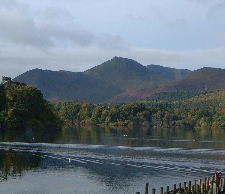
Rowling end is a peak in the Lake District about 433 meters it is a steep slope leading up towards Causey Pike. It is briefly mentioned in books however they mainly focus on Causey Pike. The summit has a small kern on it amongst the heather and other shrubs and plants.
Map of Rowling End, Keswick, UK
References
Rowling End Wikipedia(Text) CC BY-SA