
Region Qikiqtaaluk Area 1,090 km² | Population Uninhabited | |
 | ||
Island group Canadian Arctic Archipelago | ||
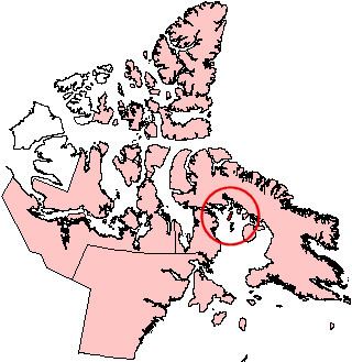
Rowley Island is one of the Canadian Arctic islands in Qikiqtaaluk Region, Nunavut. It is located in Foxe Basin and has an area of 1,090 km2 (420 sq mi).
Map of Rowley Island, Baffin, Unorganized, NU, Canada
Although the island is uninhabited there is both an unmanned Distant Early Warning Line base, called FOX-1 at 69°04′01″N 079°03′54″W, and an Automated Surface Observing System.
It is named after the arctic explorer Graham Westbrook Rowley.
References
Rowley Island Wikipedia(Text) CC BY-SA