
Country United States FIPS code 54-70588 Elevation 422 m Population 585 (2013) Area code 304 | Time zone Eastern (EST) (UTC-5) GNIS feature ID 1552749 Zip code 26425 Local time Thursday 10:28 AM | |
 | ||
Weather 1°C, Wind E at 6 km/h, 40% Humidity Area 2.849 km² (2.616 km² Land / 23 ha Water) | ||
Rowlesburg is a town and former coal town in Preston County, West Virginia, United States, along the Cheat River. The population was 584 at the 2010 census.
Contents
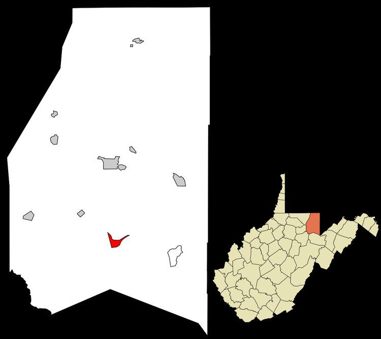
Map of Rowlesburg, WV, USA
History
Rowlesburg was incorporated as a town in 1858. It was named for Thomas Rowle, a railroad engineer.
The Downtown Rowlesburg Historic District was listed on the National Register of Historic Places in 2005.
Geography
Rowlesburg is located at 39°21′0″N 79°40′22″W (39.350119, -79.672892).
According to the United States Census Bureau, the town has a total area of 1.10 square miles (2.85 km2), of which 1.01 square miles (2.62 km2) is land and 0.09 square miles (0.23 km2) is water.
Climate
The climate in this area displays significant differences between summer average high temperatures and winter average lows; adequate precipitation falls year round. In winter months, precipitation is often in the form of snow or sleet. According to the Köppen Climate Classification system, Rowlesburg has a continental climate, abbreviated "Dfb" on climate maps.
Flood Events
At Rowlesburg, the Cheat River is considered to be at flood stage when the gauge height is 16 feet.
2010 census
As of the census of 2010, there were 584 people, 255 households, and 163 families residing in the town. The population density was 578.2 inhabitants per square mile (223.2/km2). There were 304 housing units at an average density of 301.0 per square mile (116.2/km2). The racial makeup of the town was 99.5% White, 0.2% from other races, and 0.3% from two or more races.
There were 255 households of which 23.1% had children under the age of 18 living with them, 51.4% were married couples living together, 8.6% had a female householder with no husband present, 3.9% had a male householder with no wife present, and 36.1% were non-families. 32.9% of all households were made up of individuals and 19.2% had someone living alone who was 65 years of age or older. The average household size was 2.29 and the average family size was 2.88.
The median age in the town was 48 years. 18.8% of residents were under the age of 18; 5.7% were between the ages of 18 and 24; 20.4% were from 25 to 44; 35.1% were from 45 to 64; and 20% were 65 years of age or older. The gender makeup of the town was 48.3% male and 51.7% female.
2000 census
As of the census of 2000, there were 613 people, 260 households, and 164 families residing in the town. The population density was 582.0 inhabitants per square mile (225.4/km²). There were 304 housing units at an average density of 288.6 per square mile (111.8/km²). The racial makeup of the town was 98.53% White, 0.16% African American, 0.33% Asian, and 0.98% from two or more races.
There were 260 households out of which 24.2% had children under the age of 18 living with them, 47.3% were married couples living together, 11.5% had a female householder with no husband present, and 36.9% were non-families. 33.8% of all households were made up of individuals and 20.4% had someone living alone who was 65 years of age or older. The average household size was 2.36 and the average family size was 2.98.
In the town, the population was spread out with 21.4% under the age of 18, 8.3% from 18 to 24, 26.9% from 25 to 44, 23.8% from 45 to 64, and 19.6% who were 65 years of age or older. The median age was 42 years. For every 100 females there were 88.6 males. For every 100 females age 18 and over, there were 82.6 males.
The median income for a household in the town was $28,125, and the median income for a family was $32,813. Males had a median income of $25,962 versus $12,750 for females. The per capita income for the town was $14,663. About 7.6% of families and 12.6% of the population were below the poverty line, including 14.0% of those under age 18 and 10.5% of those age 65 or over.