
Population 201 (2006 census) Local time Thursday 11:52 PM | Postcode(s) 2387 Postal code 2387 Lga Walgett Shire | |
 | ||
Weather 24°C, Wind NE at 11 km/h, 75% Humidity | ||
Rowena is a small town in the far north-east of New South Wales, Australia, and lies in the Walgett Shire. It serves an agricultural community which consists of both dry and irrigated cropping as well as grazing. At the 2006 census, Rowena had a population of 201 people.
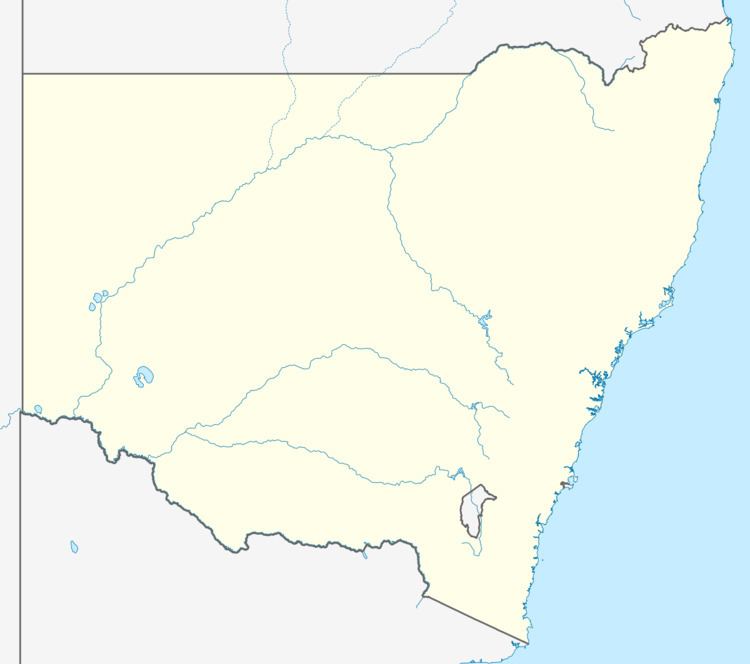
Map of Rowena NSW 2387, Australia
A public school, which opened in 1923 and was rebuilt in 1996, serves the district. The Pokataroo railway line passes through the town.
The school has about 30 children (2009) and the town has a pub, a general store and a post office as well as an oval and a swimming pool.
References
Rowena, New South Wales Wikipedia(Text) CC BY-SA